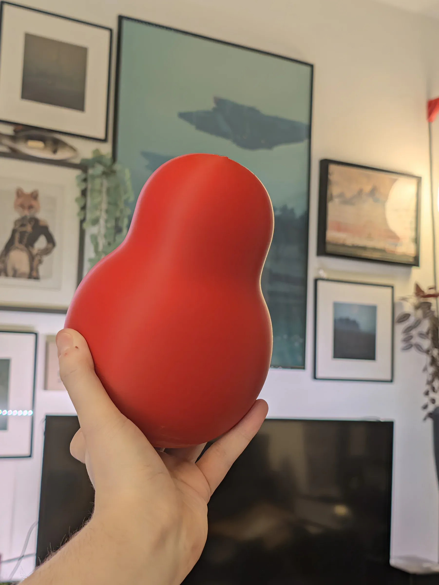
Squanch acquired!
LOCATED: 53°28'44.7"N 2°14'39.6"W // MANCHESTER // PHOTO 01
Before crossing the border into Wales, every expedition needs a focal point. Enter the squanch: ergonomic, unbothered, and entirely unprepared for the elevation changes ahead.
SUPPLY LOG // A SQUANCH IS BORN:
The squanch was 3D printed over 24 hours in a lovely matte PLA on an Anycubic Kobra 2 Neo.
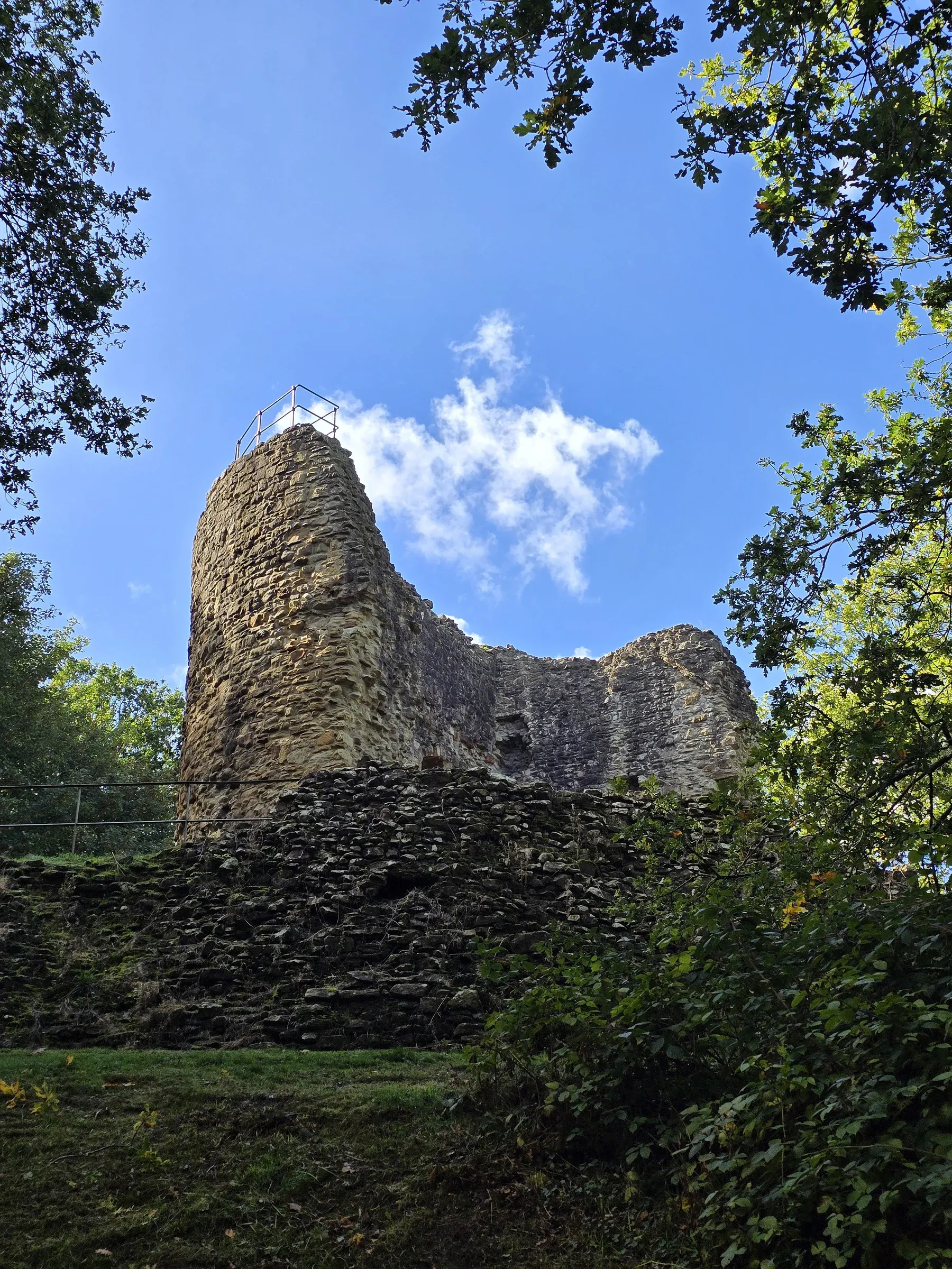
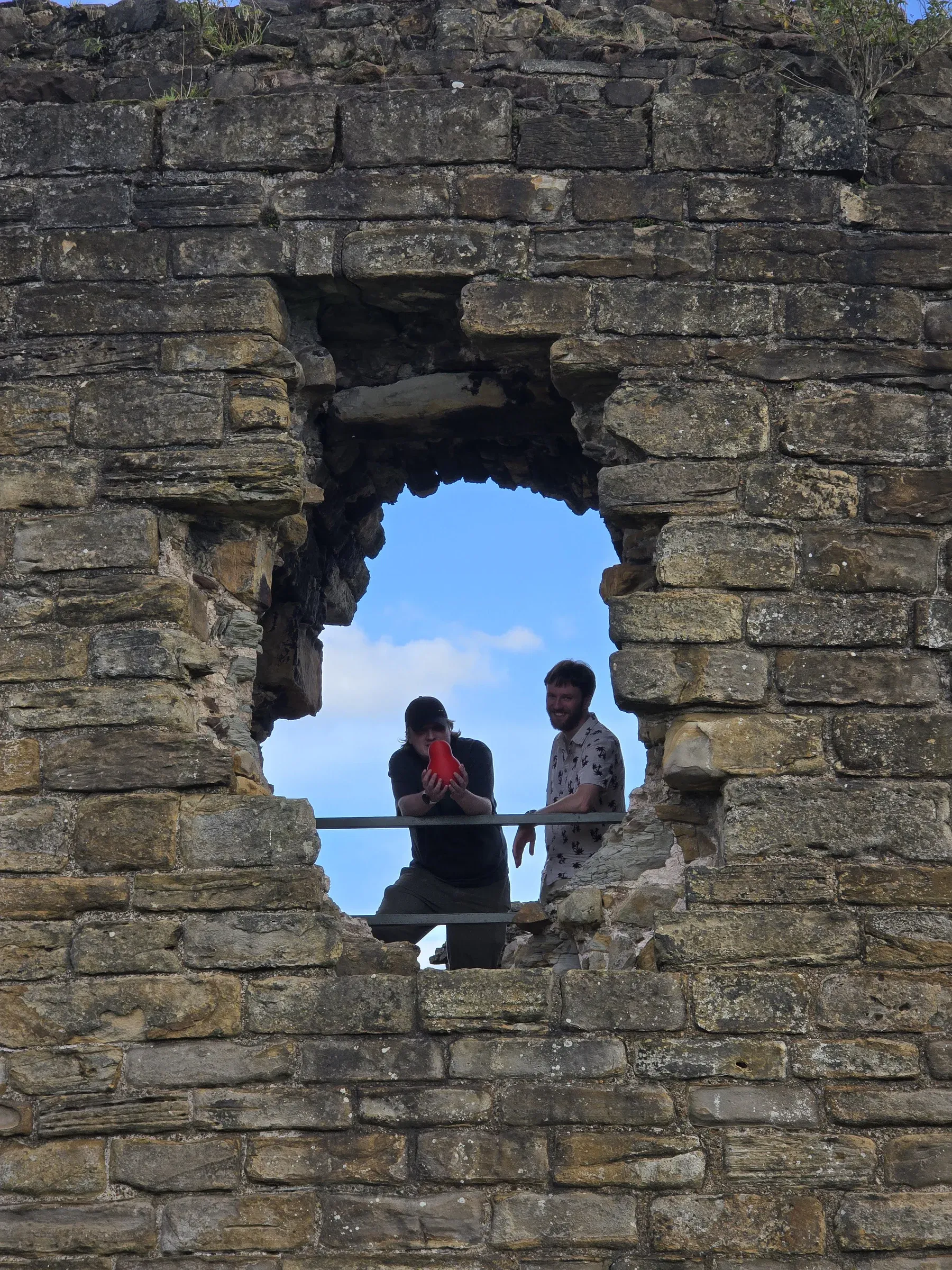
Castle Ewloe
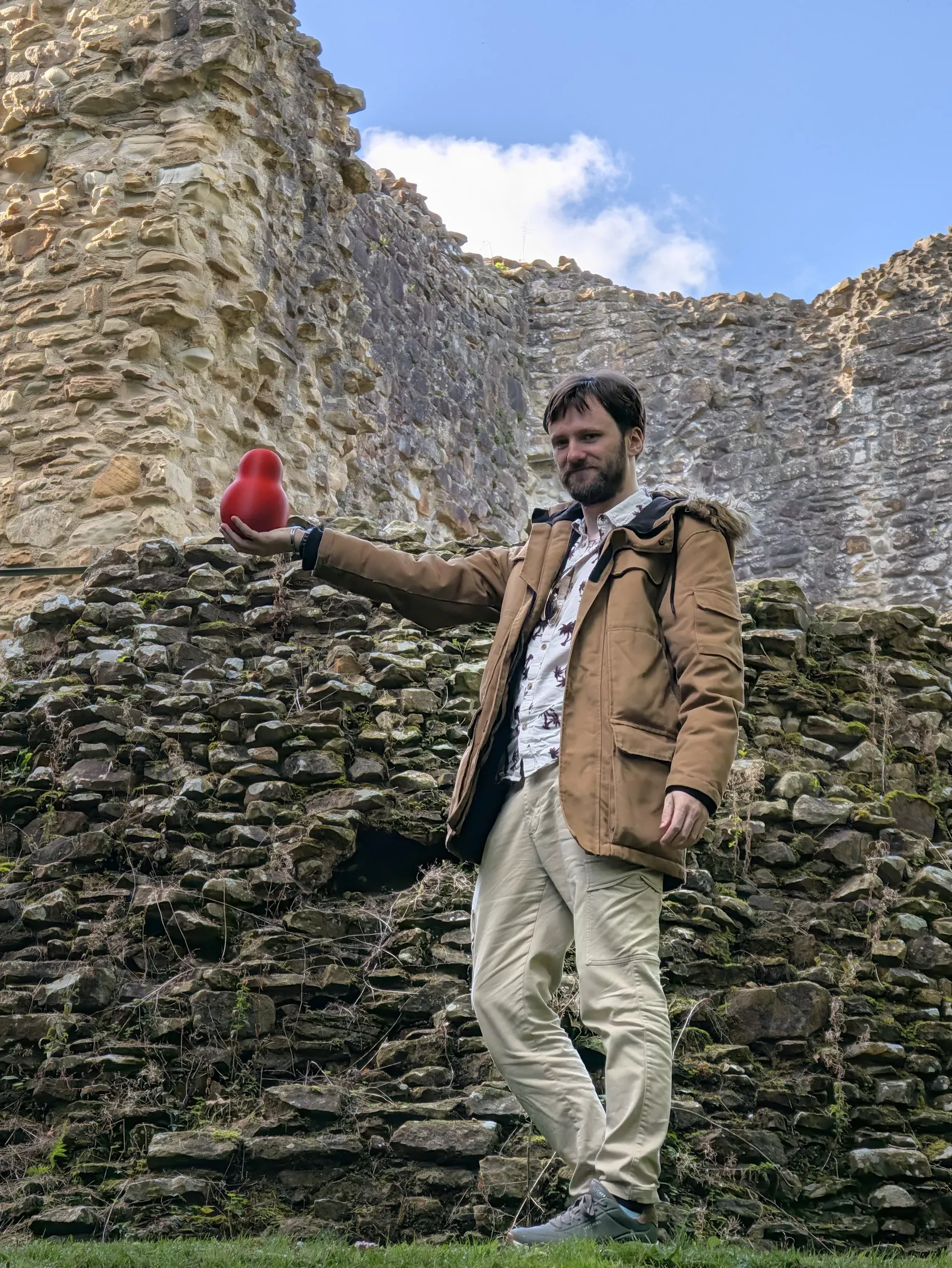
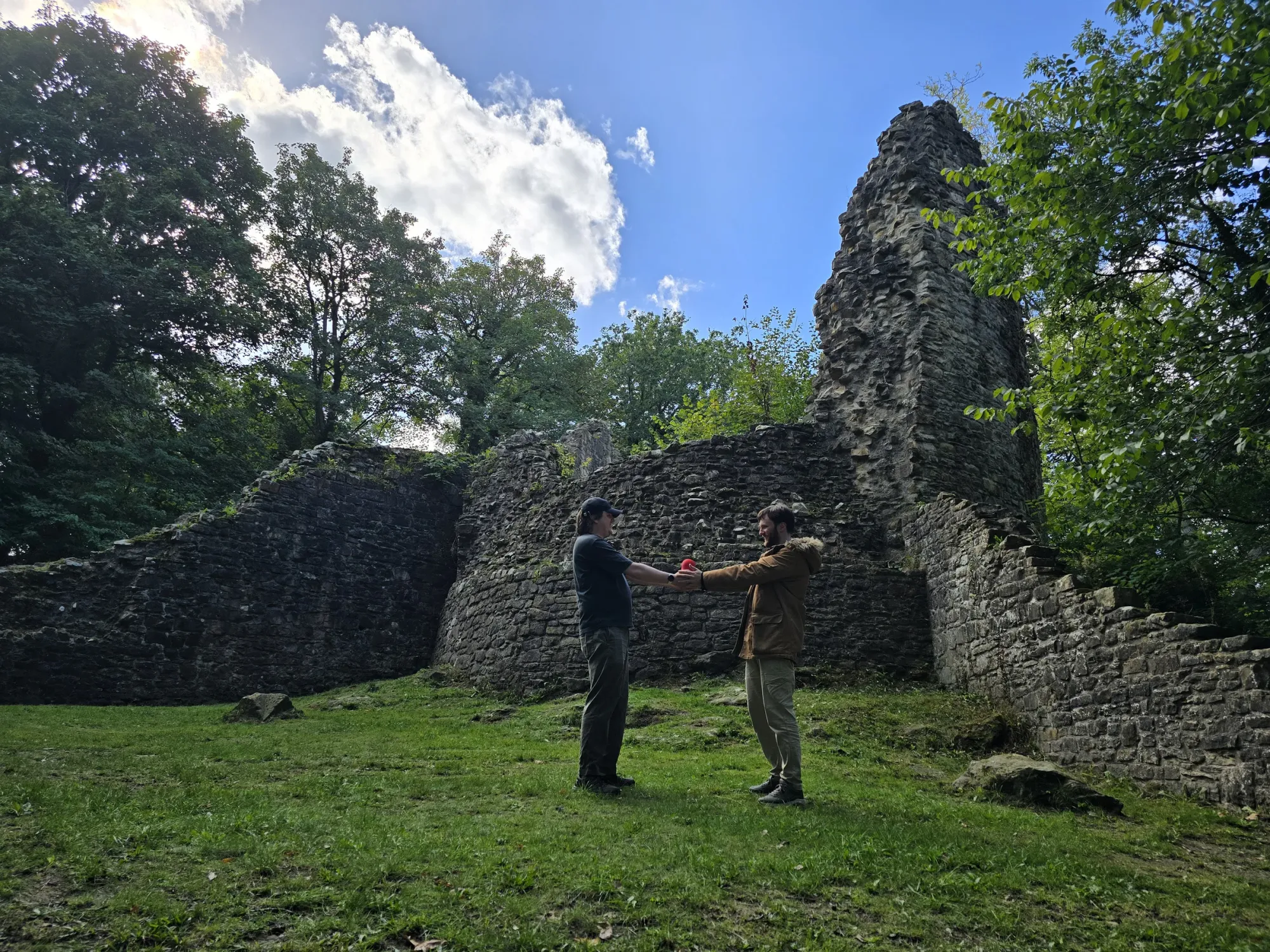
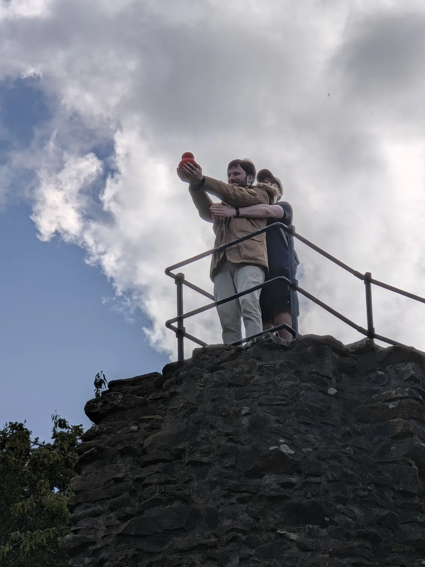
LOCATED: 53°11'59.8"N 3°03'59.3"W // FLINTSHIRE // PHOTOS 02–04
Tucked deep into the wooded valley of Wepre Park, our first Welsh stop sets the standard: mossy thirteenth-century stonework, damp ferns, and a gourd perched on ancient fortifications.
Flint Castle
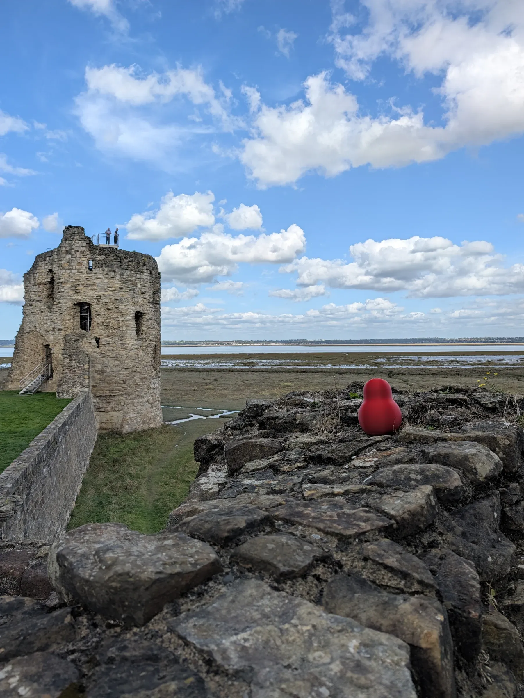
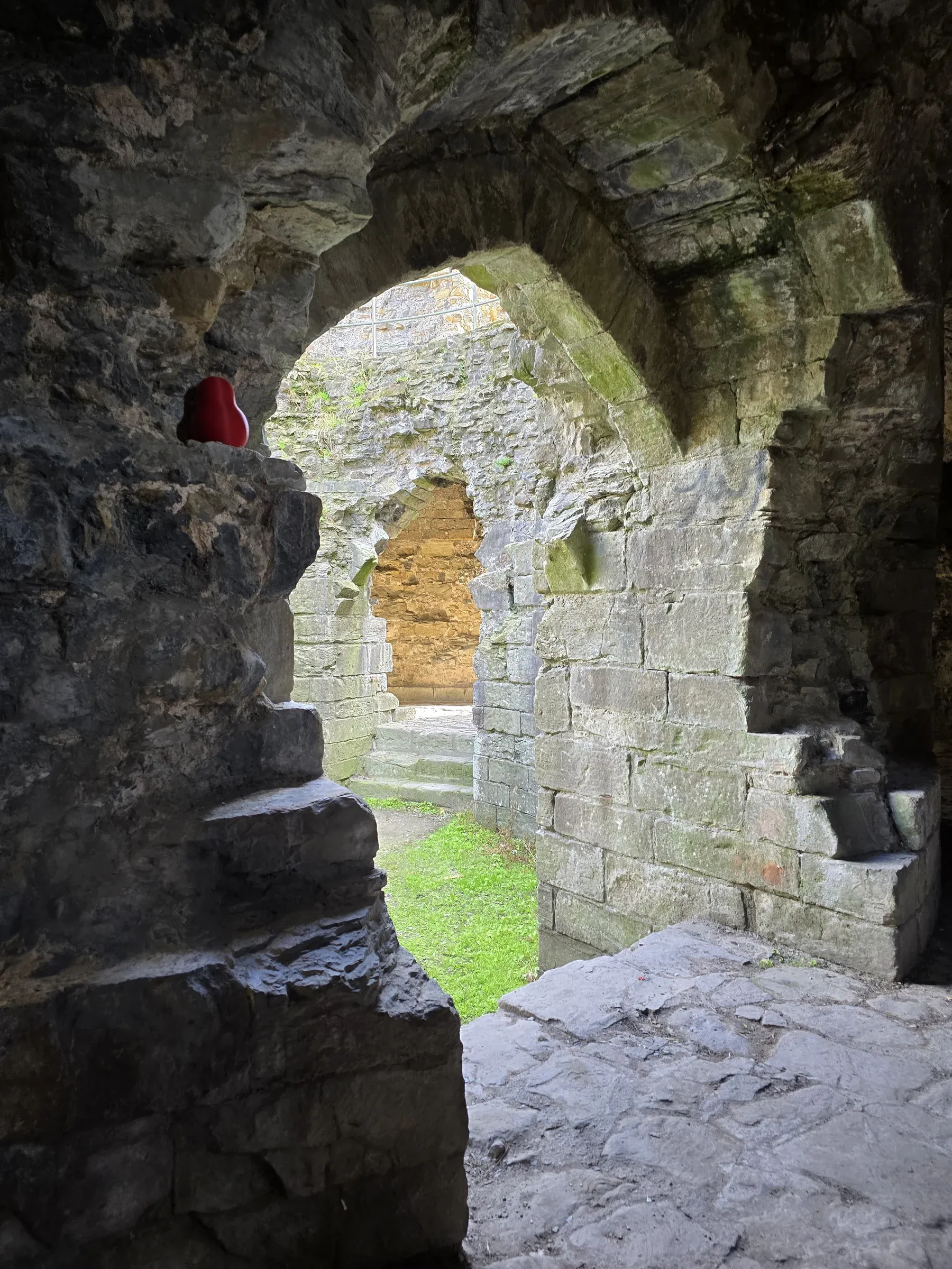
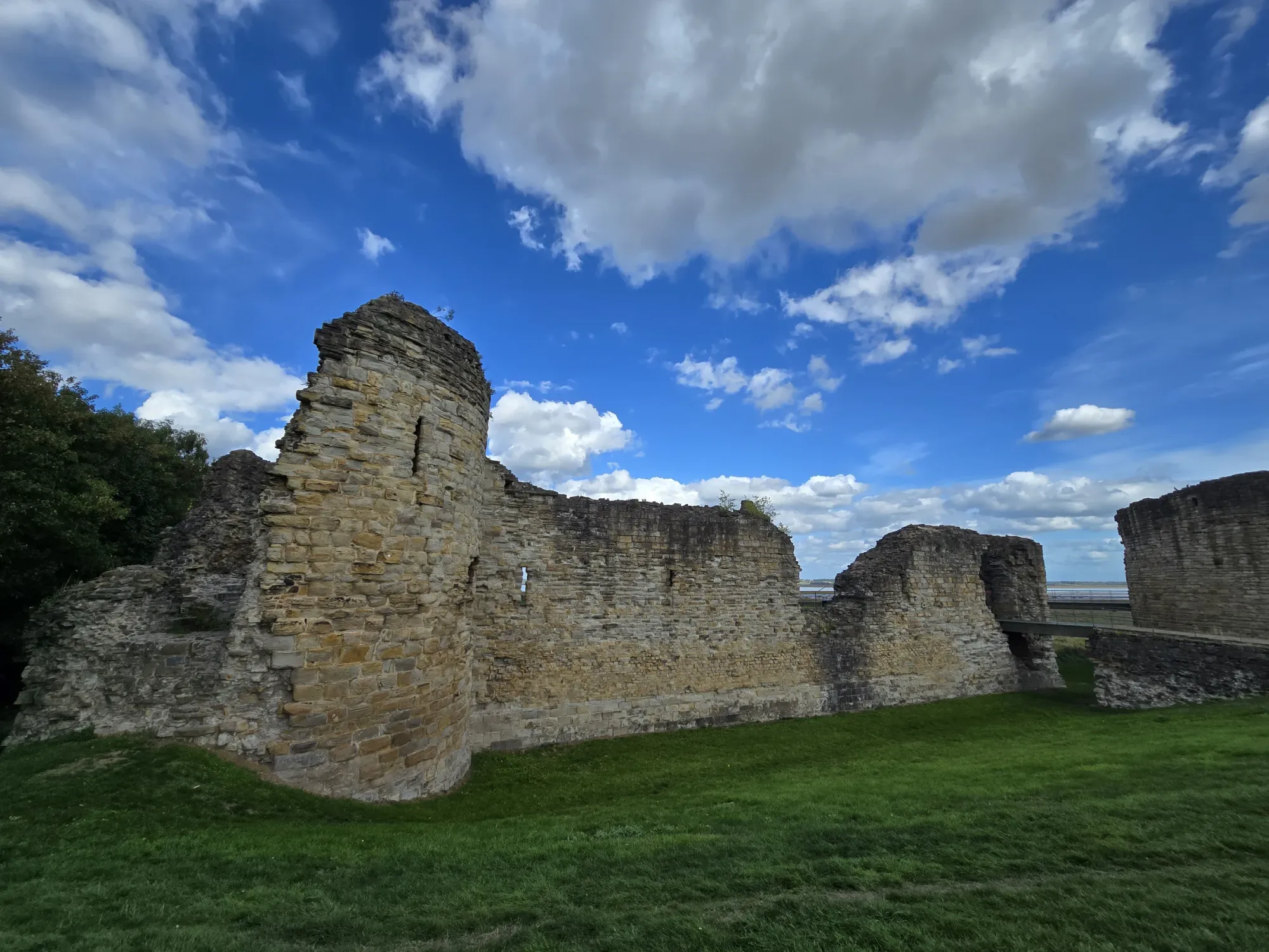
LOCATED: 53°15'05.0"N 3°07'46.6"W // DEE ESTUARY // PHOTOS 05–07
Out from the trees and onto the windswept banks of the Dee Estuary. The great circular keep stands slightly apart from the rest of the castle—ideal terrain for pointing at things in the distance.
Shipwreck of the Duke of Lancaster
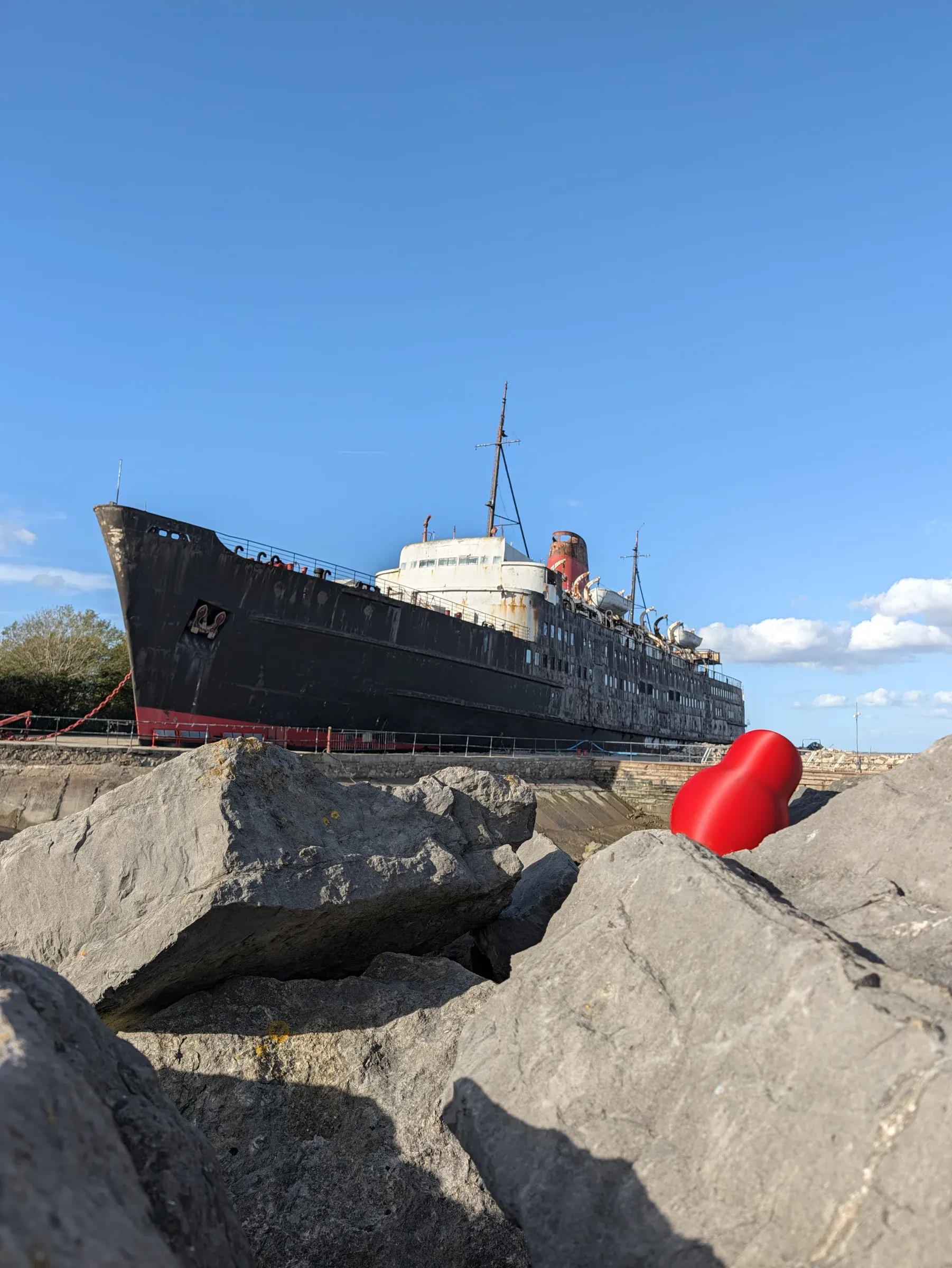
LOCATED: 53°18'20.2"N 3°14'08.4"W // LLANERCH-Y-MÔR // PHOTO 08
FIELD LOG // LLANERCH-Y-MÔR: Beached since 1979. Size of vessel: enormous. Size of squanch: modest. Rust levels: critical.
Great Orme Mine (-18m Underground)
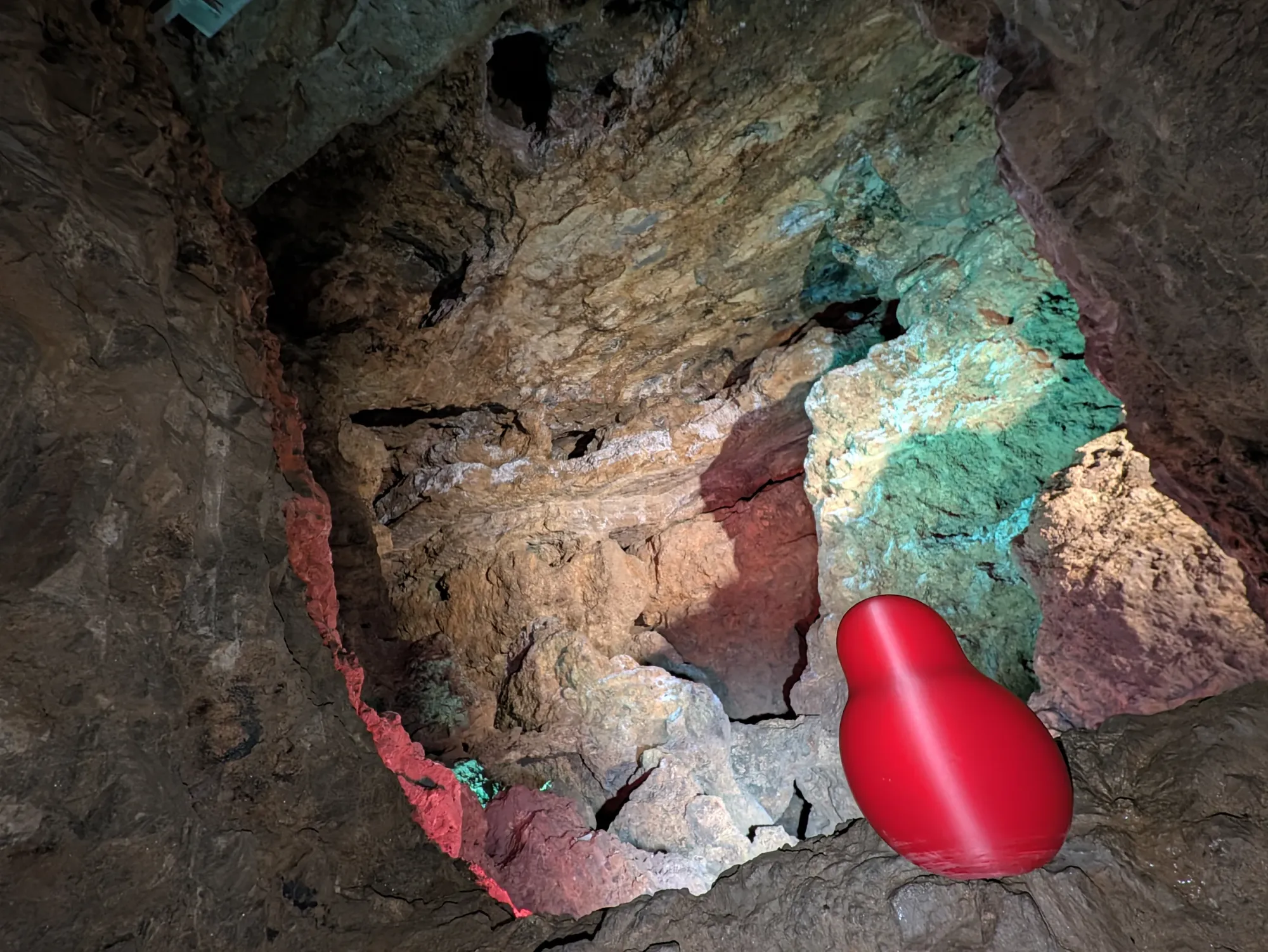
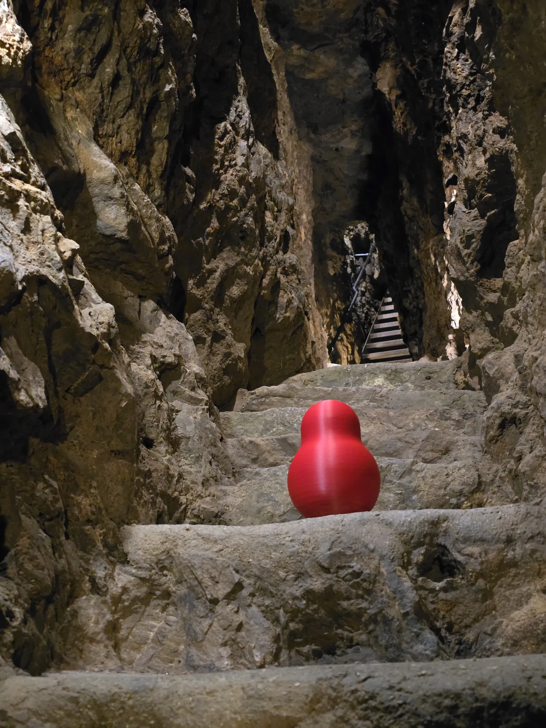
LOCATED: 53°19'49.7"N 3°50'50.4"W // LLANDUDNO // PHOTOS 09–10
Four thousand years ago, Bronze Age miners tunnelled through this limestone headland using stone hammers and bone tools. Eighteen meters below the surface, the squanch experiences zero daylight and peak subterranean acoustics.
Pen-y-Pass
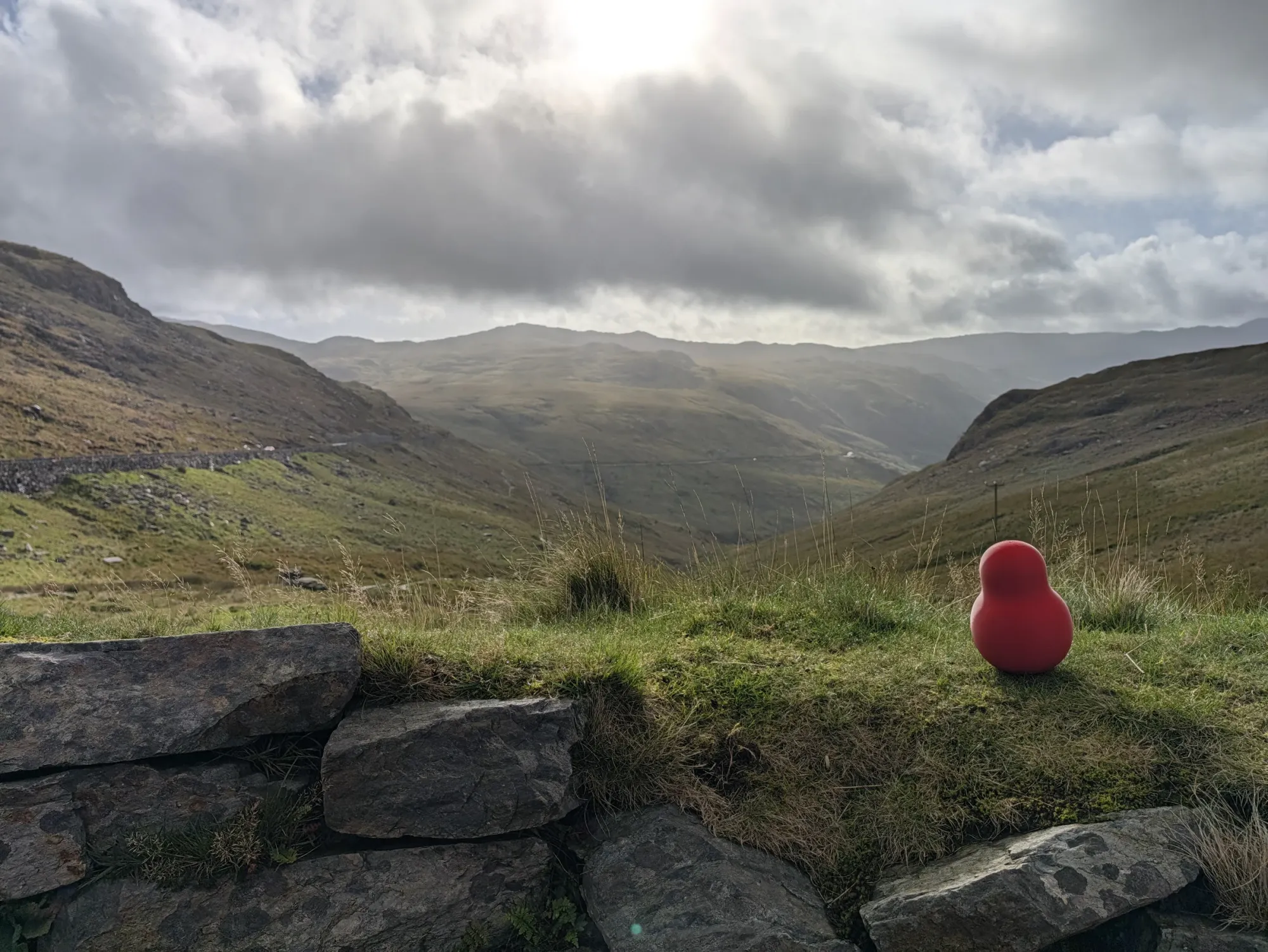
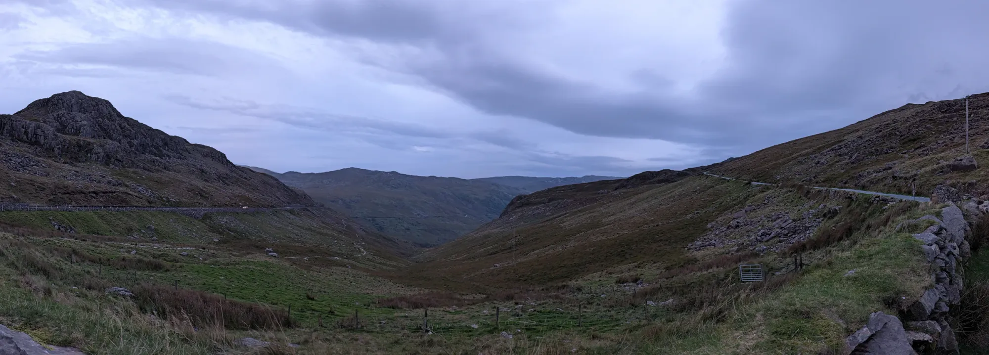
LOCATED: 53°04'48.7"N 4°01'14.1"W // ERYRI // PHOTO 11
Back above ground and straight up to 359 meters above sea level. Looking down through the dramatic glacial valleys of Eryri, the wind picks up and the horizon stretches all the way to the coast.
SWALLOW FALLS
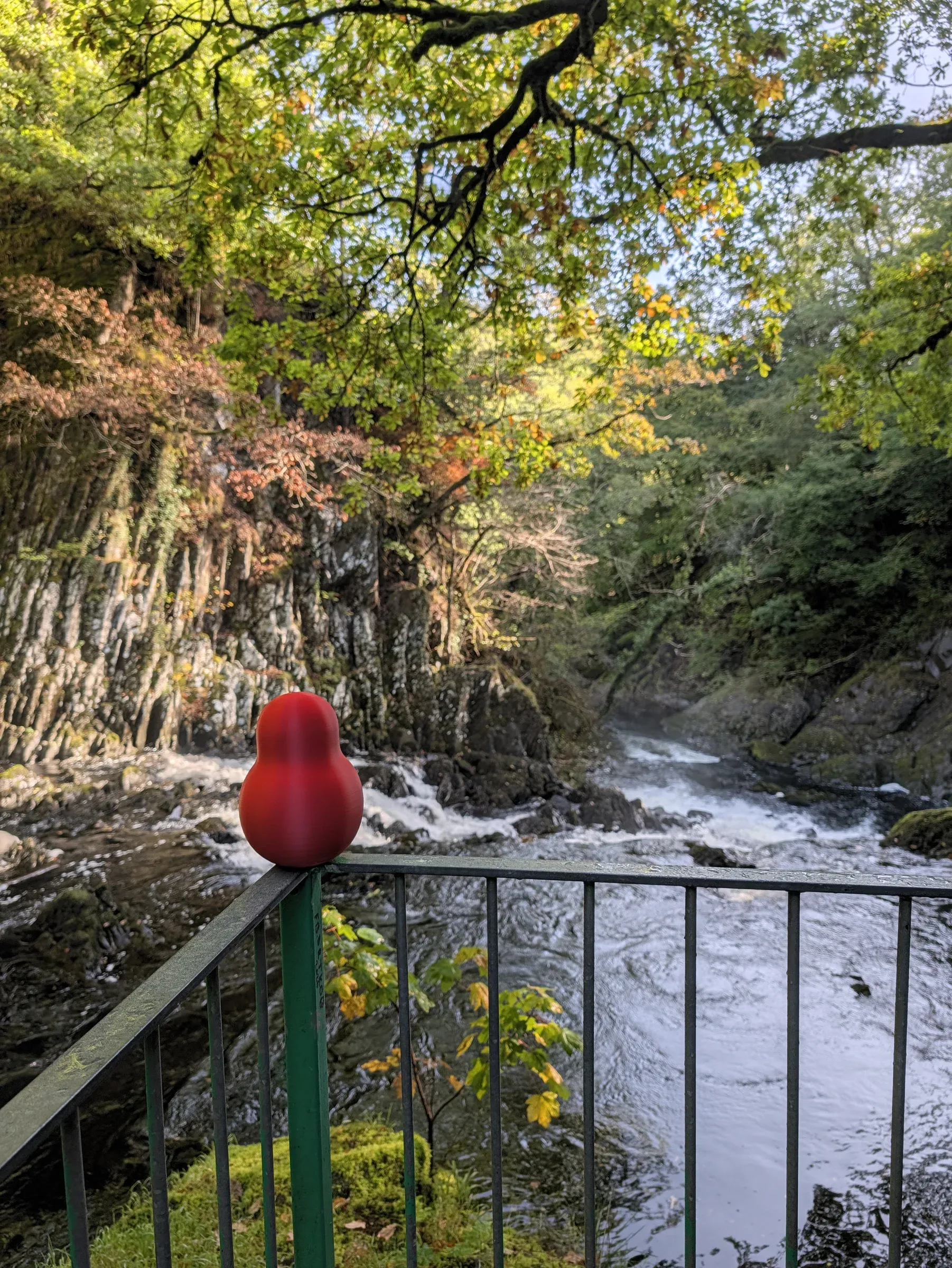
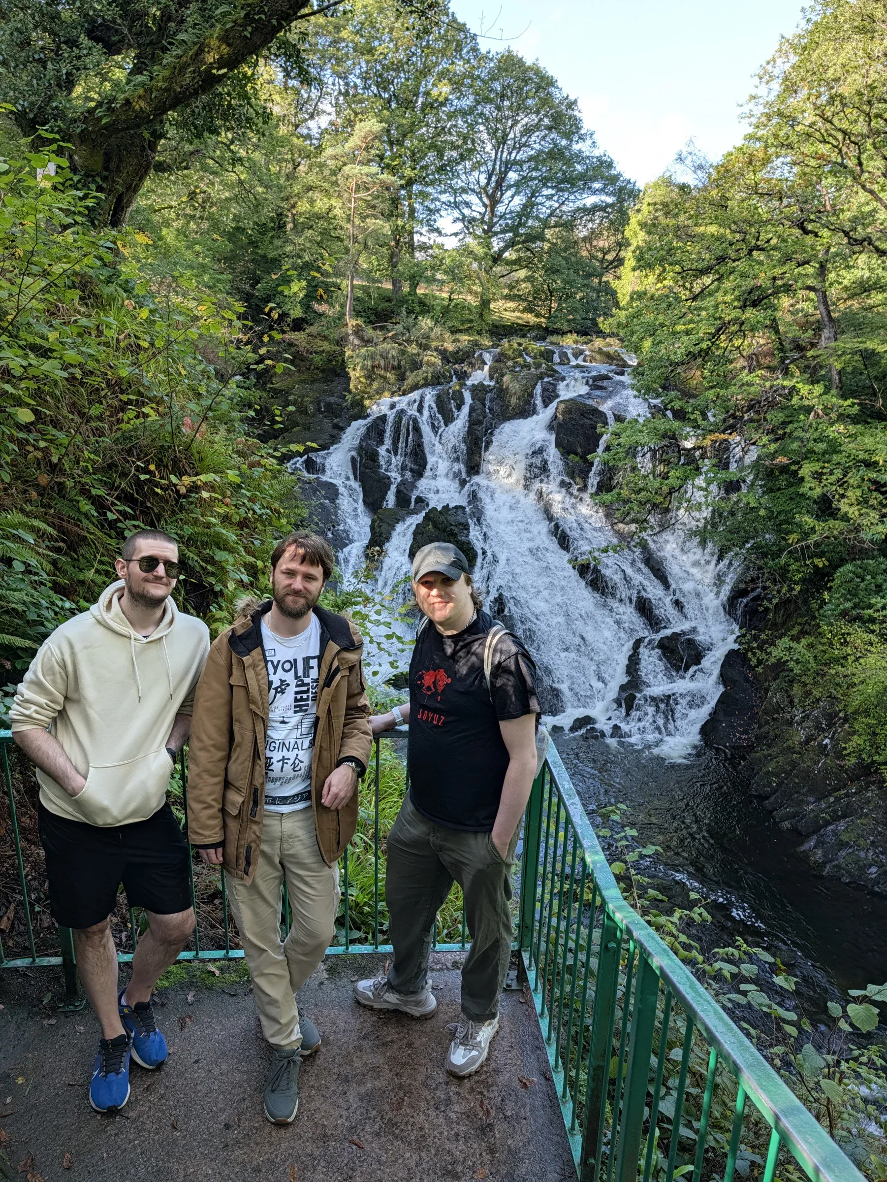
LOCATED: 53°06'09.9"N 3°50'45.3"W // GWYDIR FOREST PARK // PHOTO 12
Where the Afon Llugwy churns through a narrow rocky chasm surrounded by beech, conifer, and birch trees. Loud, misty, and hazardous for unsecured produce.
Pont-y-Pair Bridge
LOCATED: 53°05'37.6"N 3°48'22.6"W // BETWS-Y-COED // PHOTOS 13–15
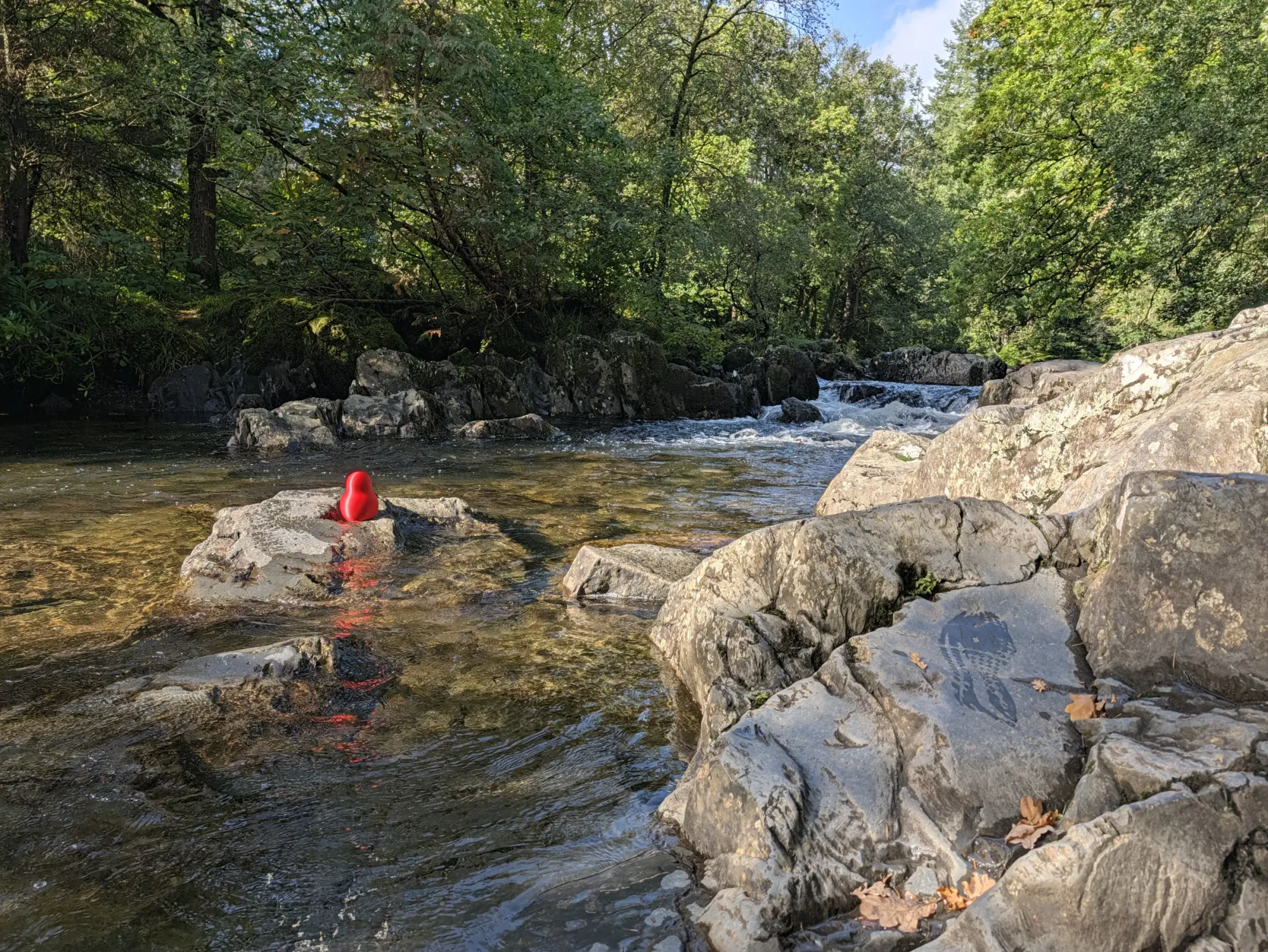
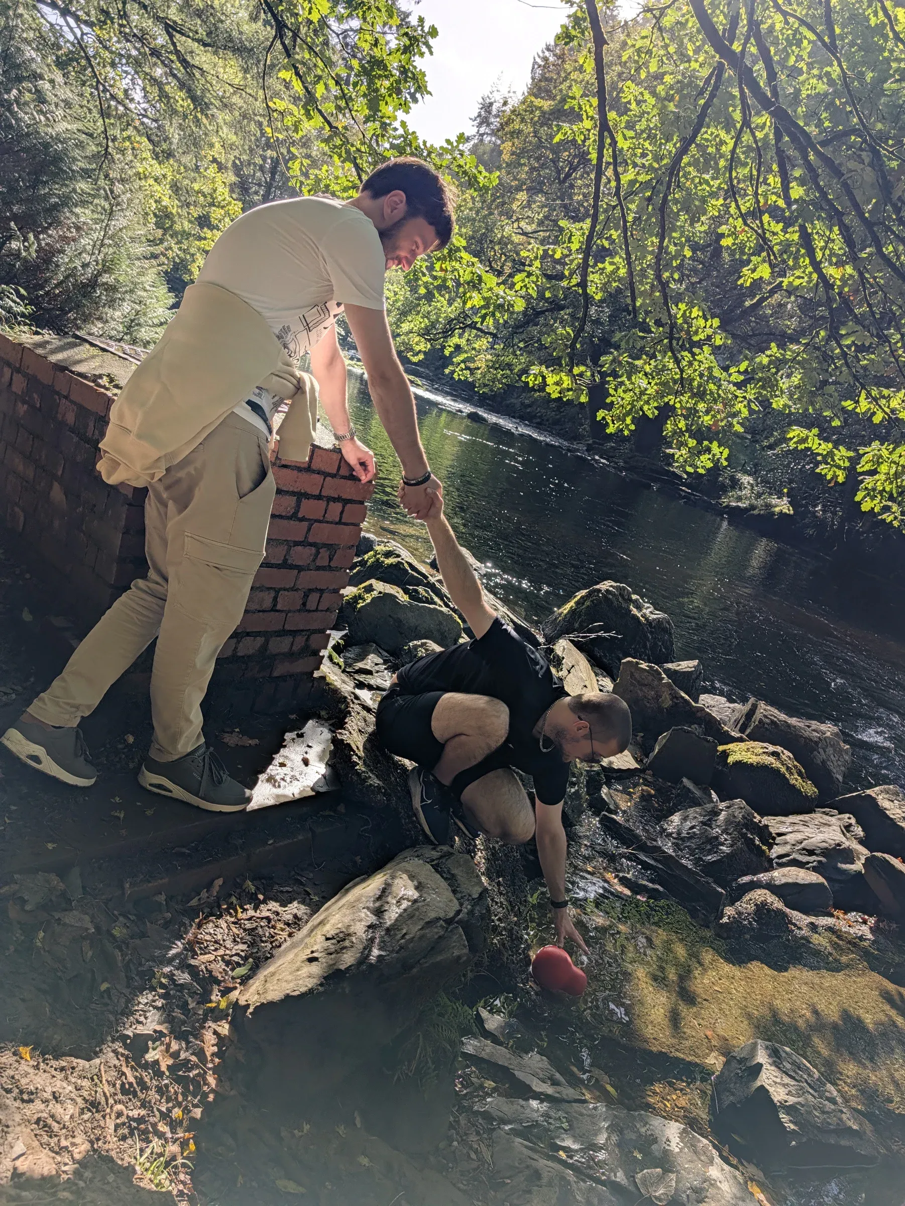
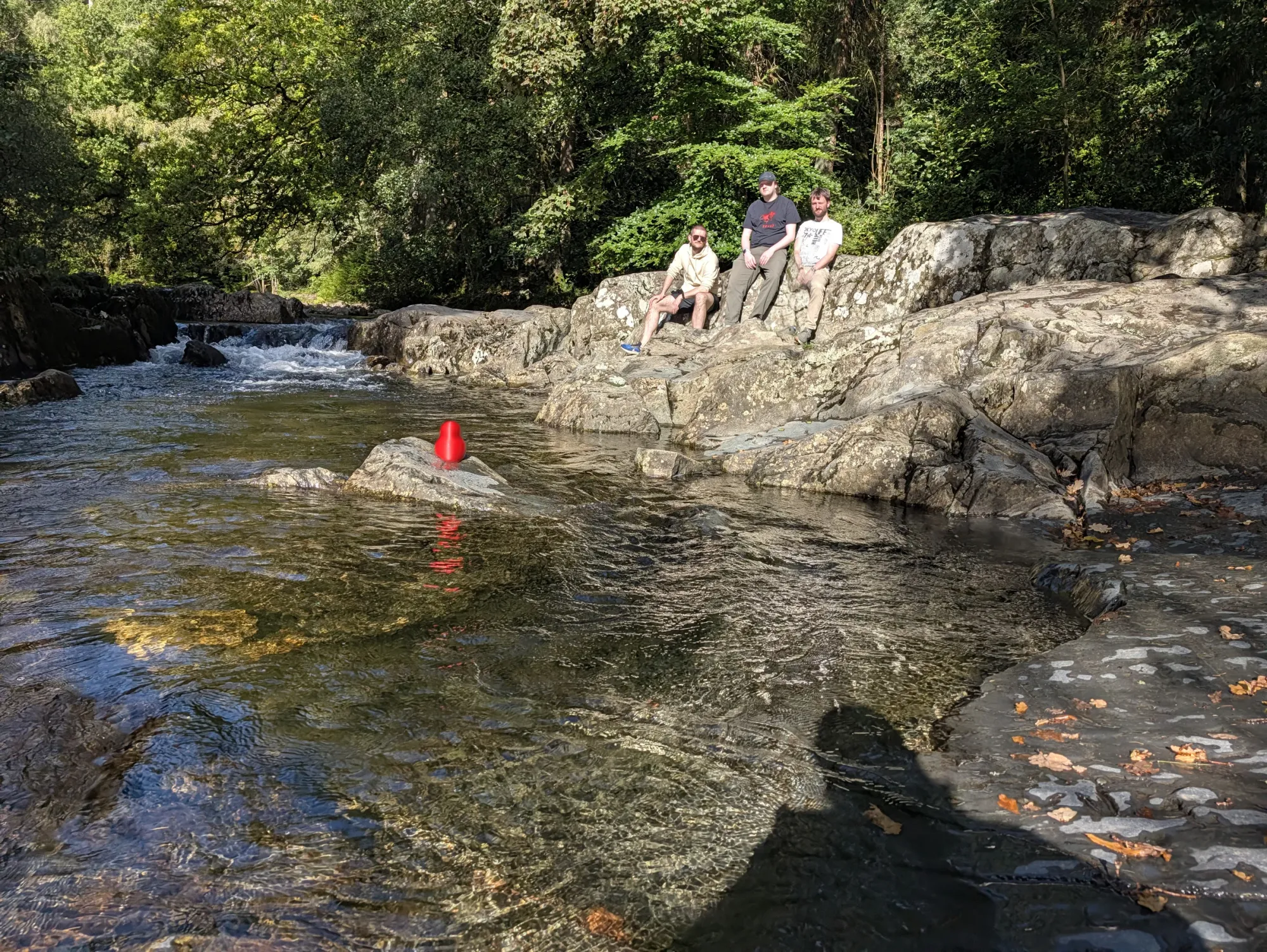
Five stone arches spanning boulders and rushing white water right in the heart of Gwydir Forest Park. A natural checkpoint to stop, lean over the parapet, and inspect the river below.
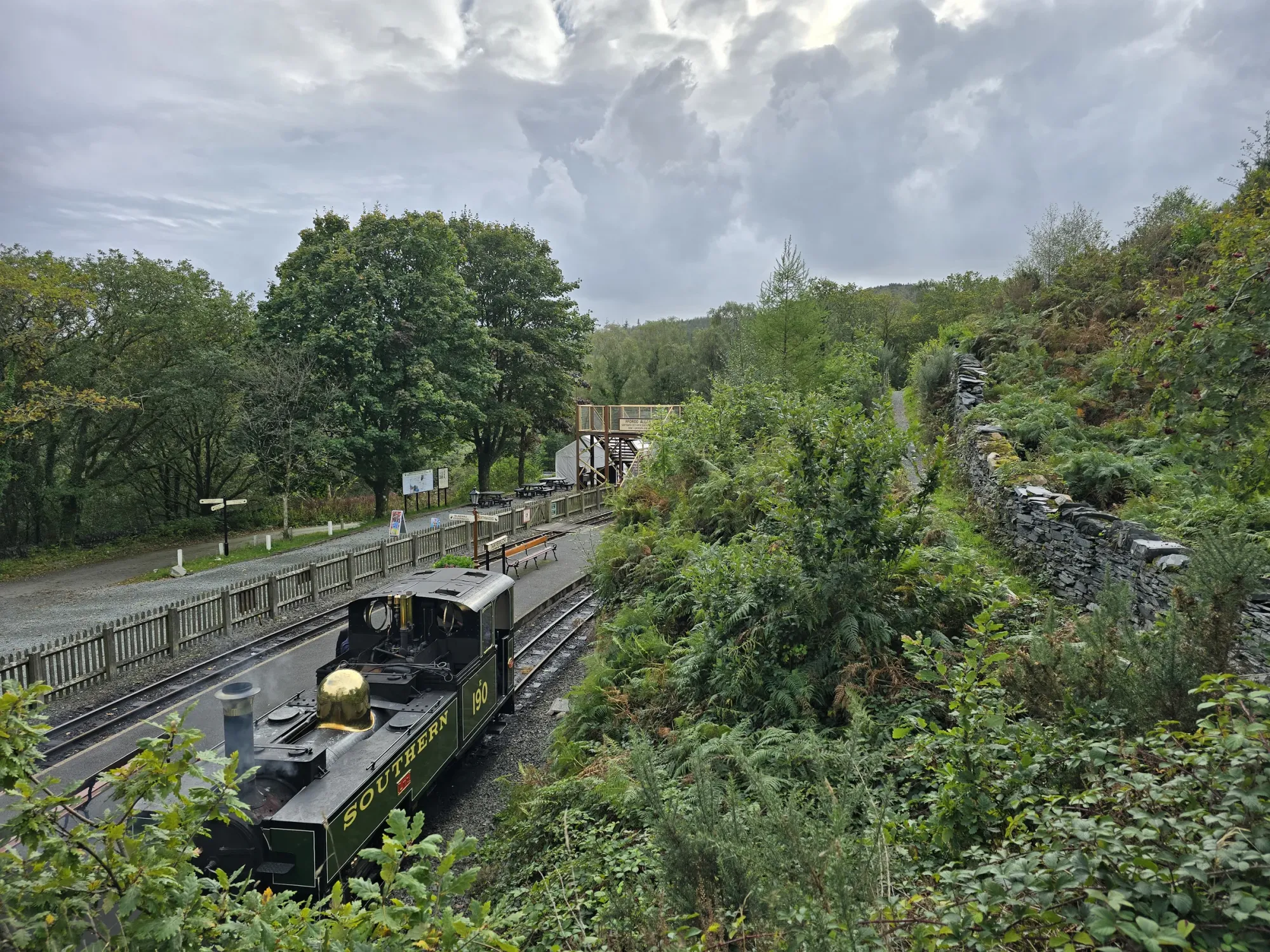
Aboard the Ffestiniog Railway
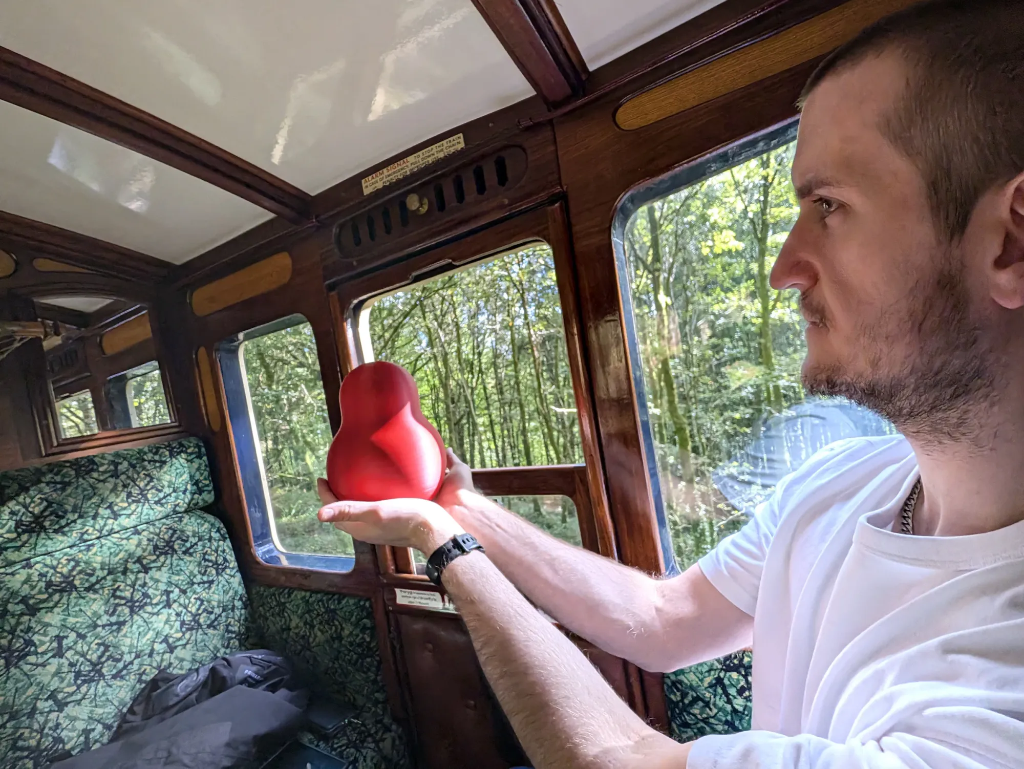
LOCATED: 52°56'38.6"N 4°01'45.9"W // PORTHMADOG TO TAN-Y-BWLCH (AND BACK) // PHOTO 16
TRANSIT LOG // NARROW GAUGE: Giving the boots a rest. Chugging uphill from the harbour at Porthmadog toward Tan-y-Bwlch through carved rock cuttings and thick mountain forest.
Cymer Abbey
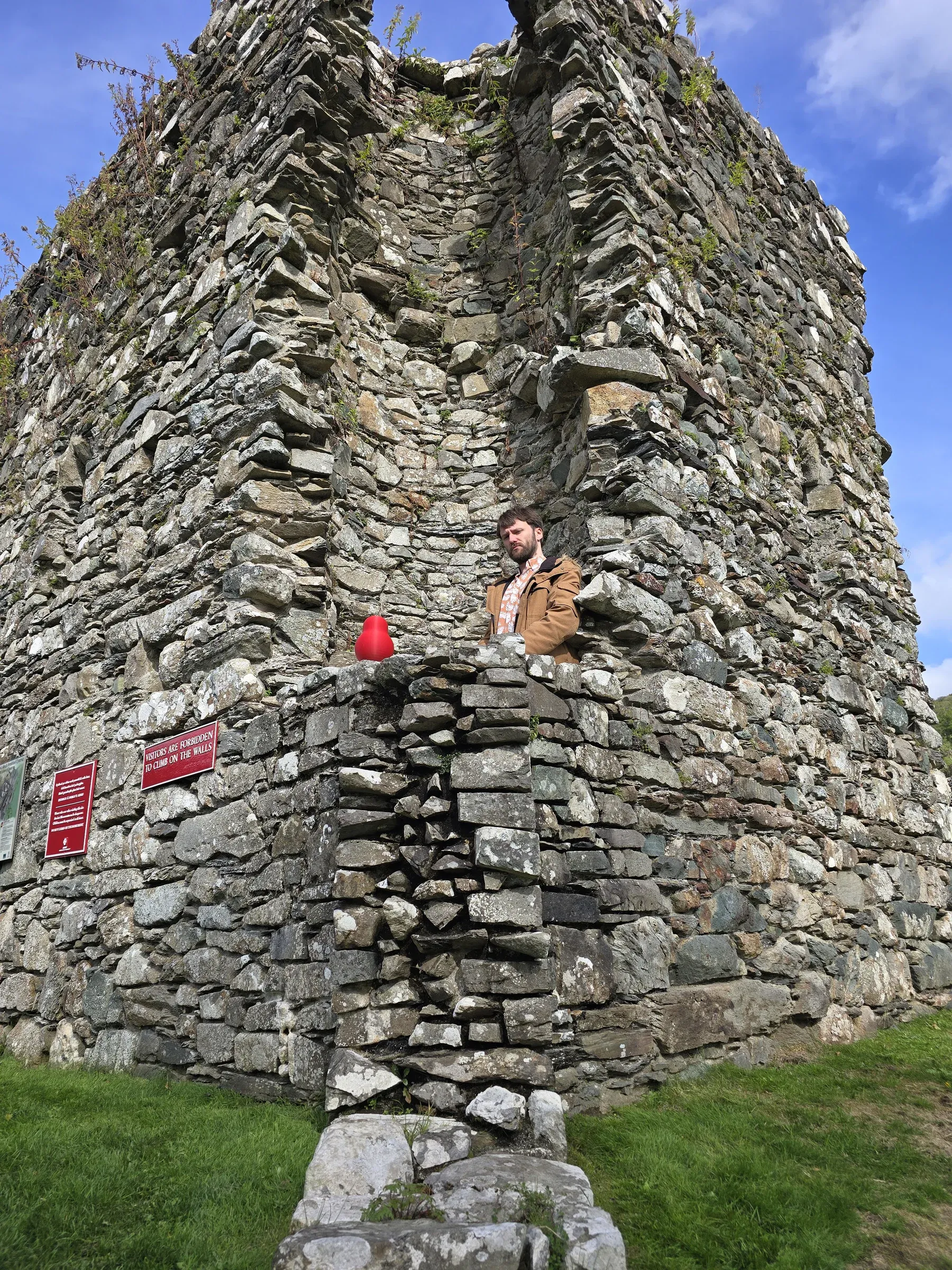
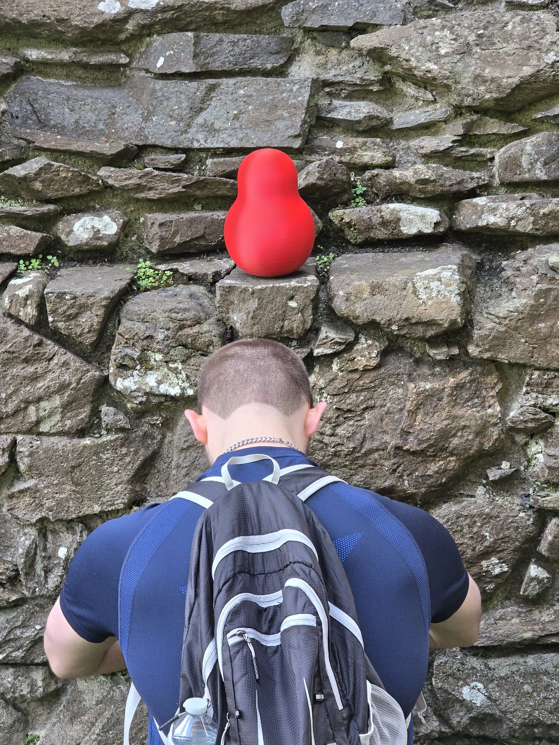
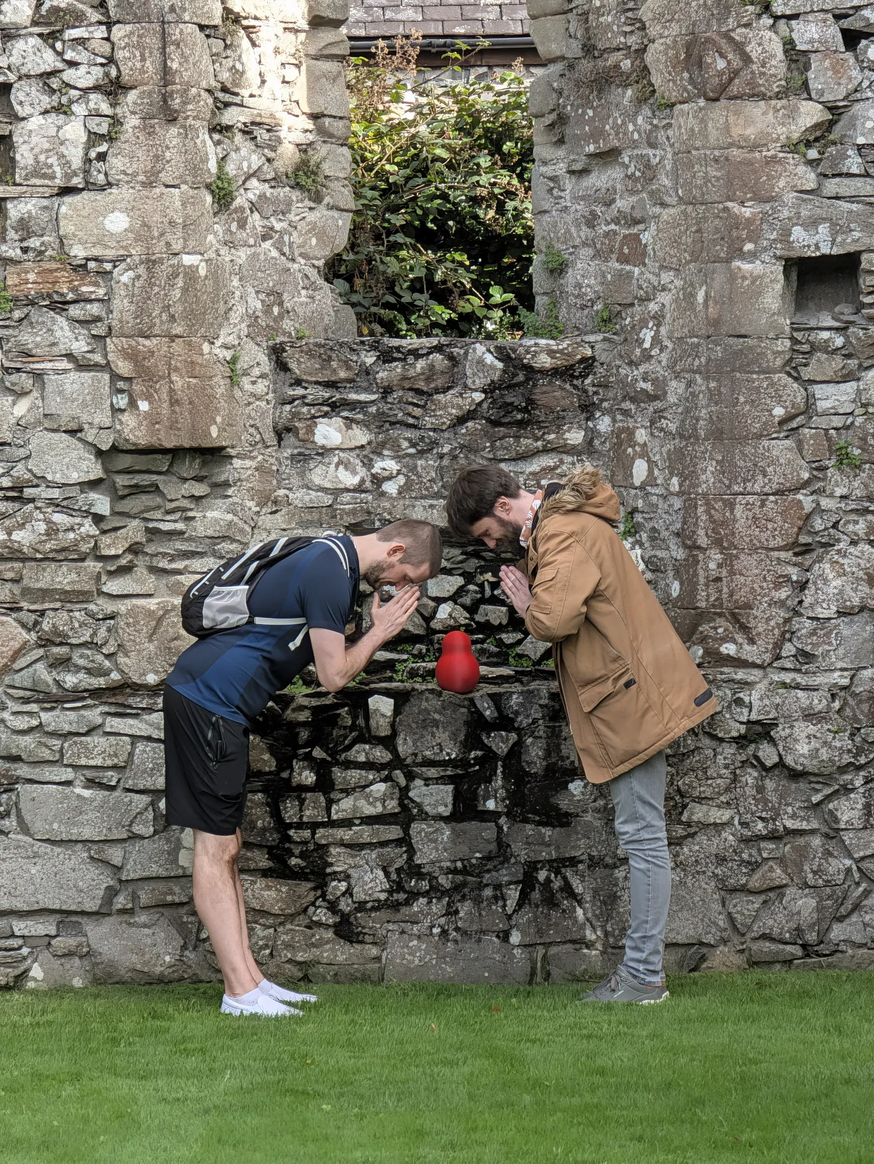
LOCATED: 52°45'29.9"N 3°53'46.7"W // LLANELLTYD // PHOTOS 17–19
Founded in 1198 by Cistercian monks beside the confluence of the rivers Mawddach and Wnion. Open arches framing the surrounding hills—quiet, roofless, and prime territory for wandering around in silence.
Devil's Bridge Waterfalls
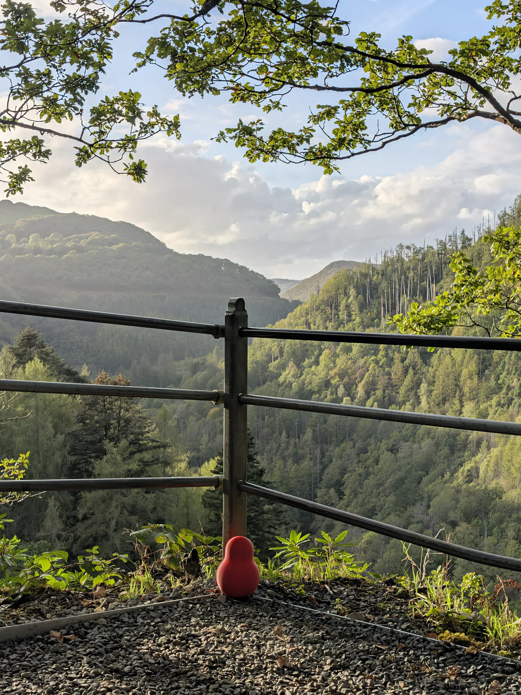
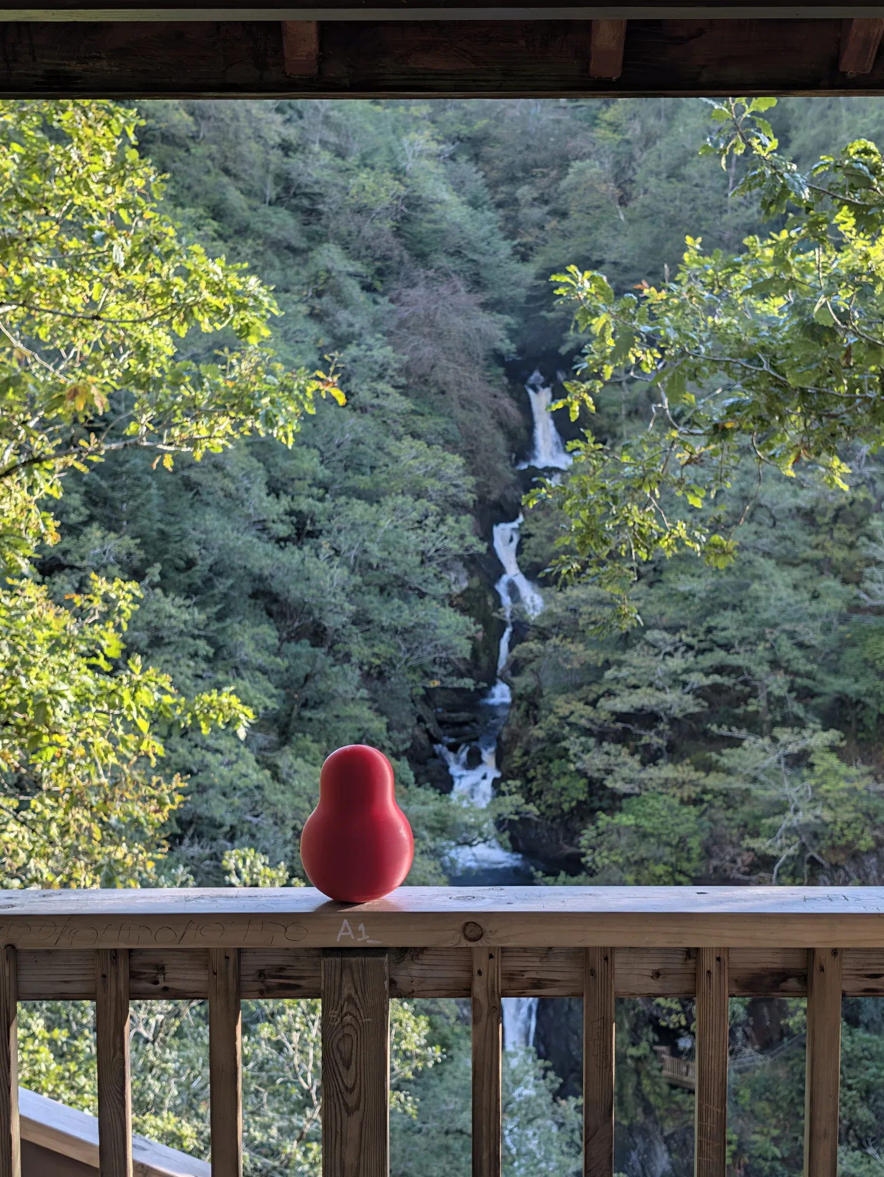
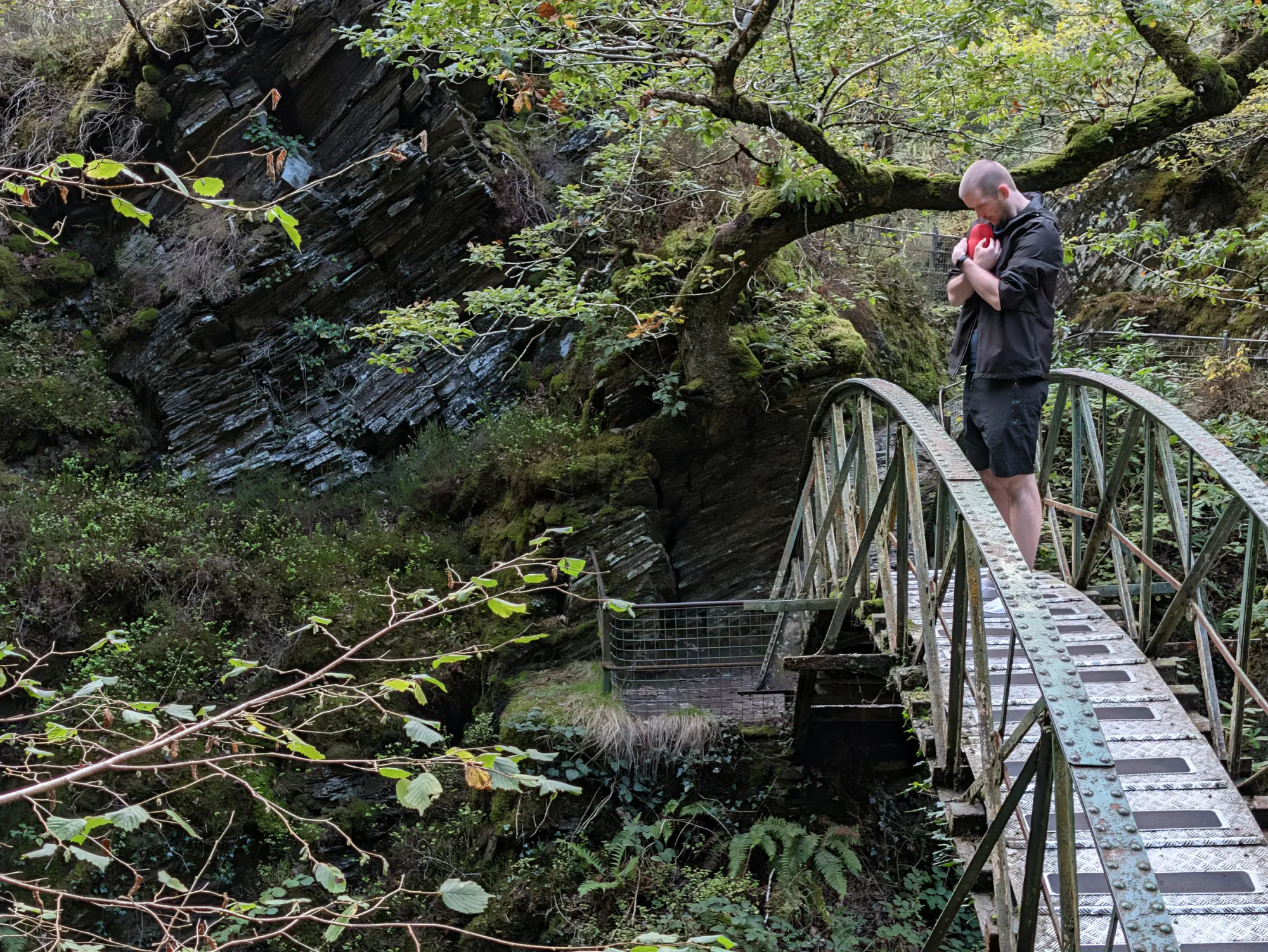
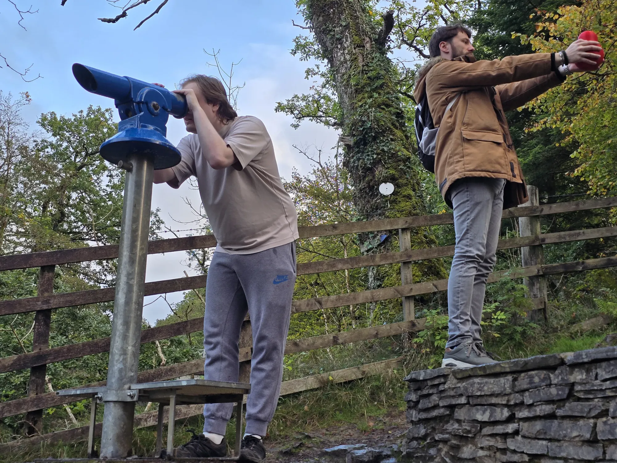
LOCATED: 52°22'43.3"N 3°51'00.4"W // PONTARFYNACH // PHOTOS 20–23
Three bridges stacked directly on top of one another across a 90-meter plunge where the River Mynach drops into the Rheidol Gorge. Steep stone steps, dizzying vertical drops, and damp mossy railings.
Garwnant Woodland
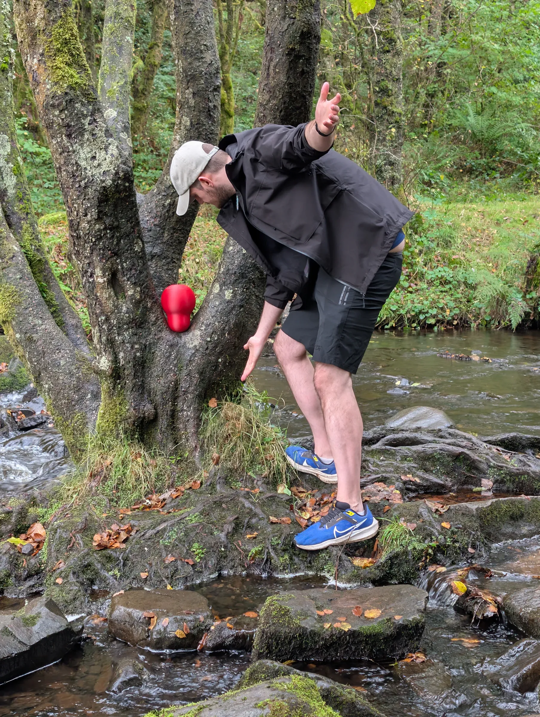
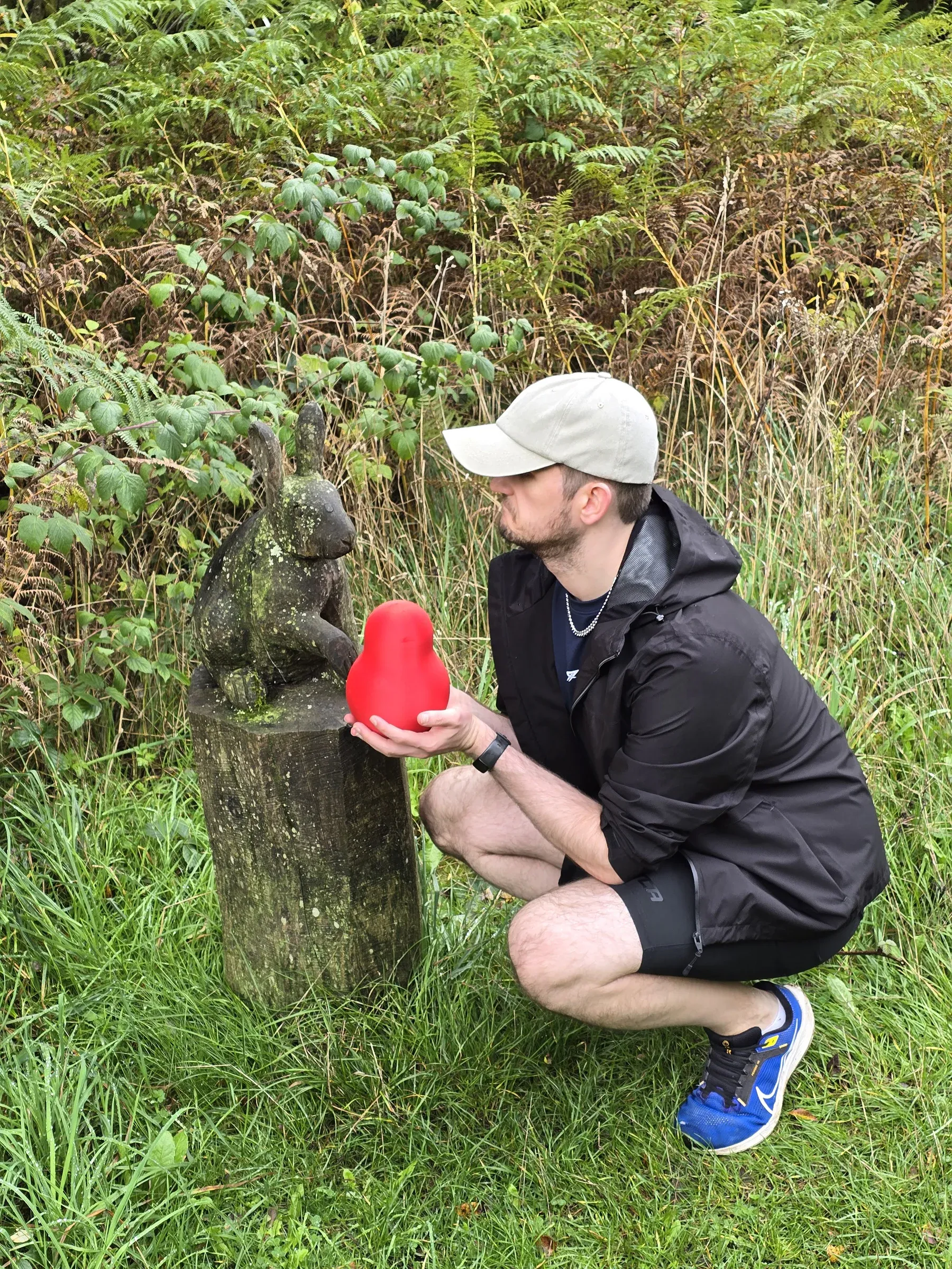
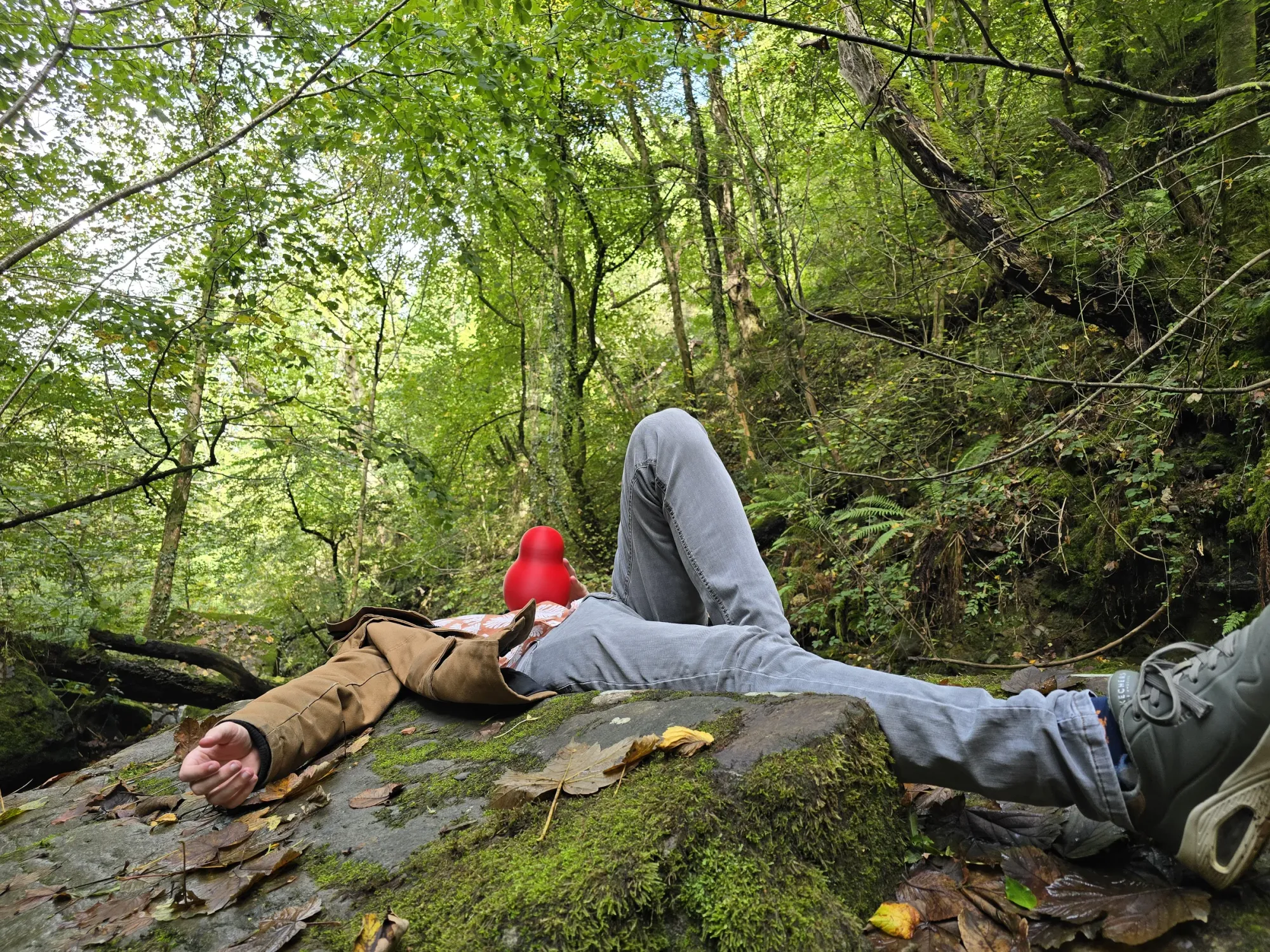
LOCATED: 51°48'28.6"N 3°26'42.5"W // BANNAU BRYCHEINIOG // PHOTOS 24–25
Deep beneath the towering canopy on the southern edge of Bannau Brycheiniog. Soft pine needles underfoot and filtered light cutting through the timber.
Melincourt Falls
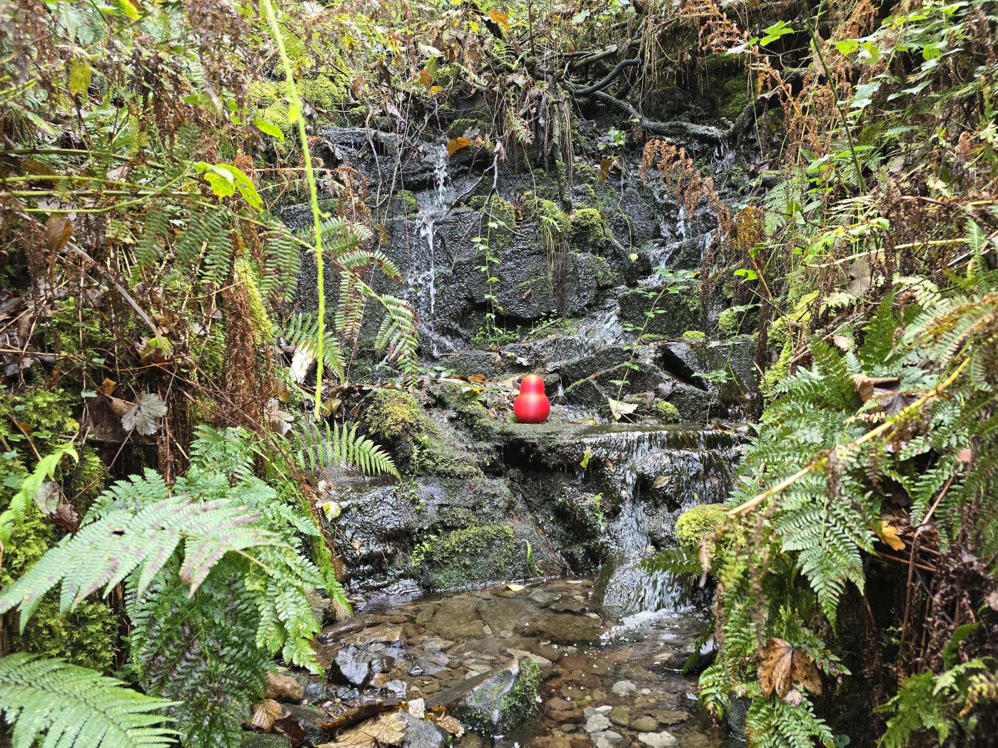
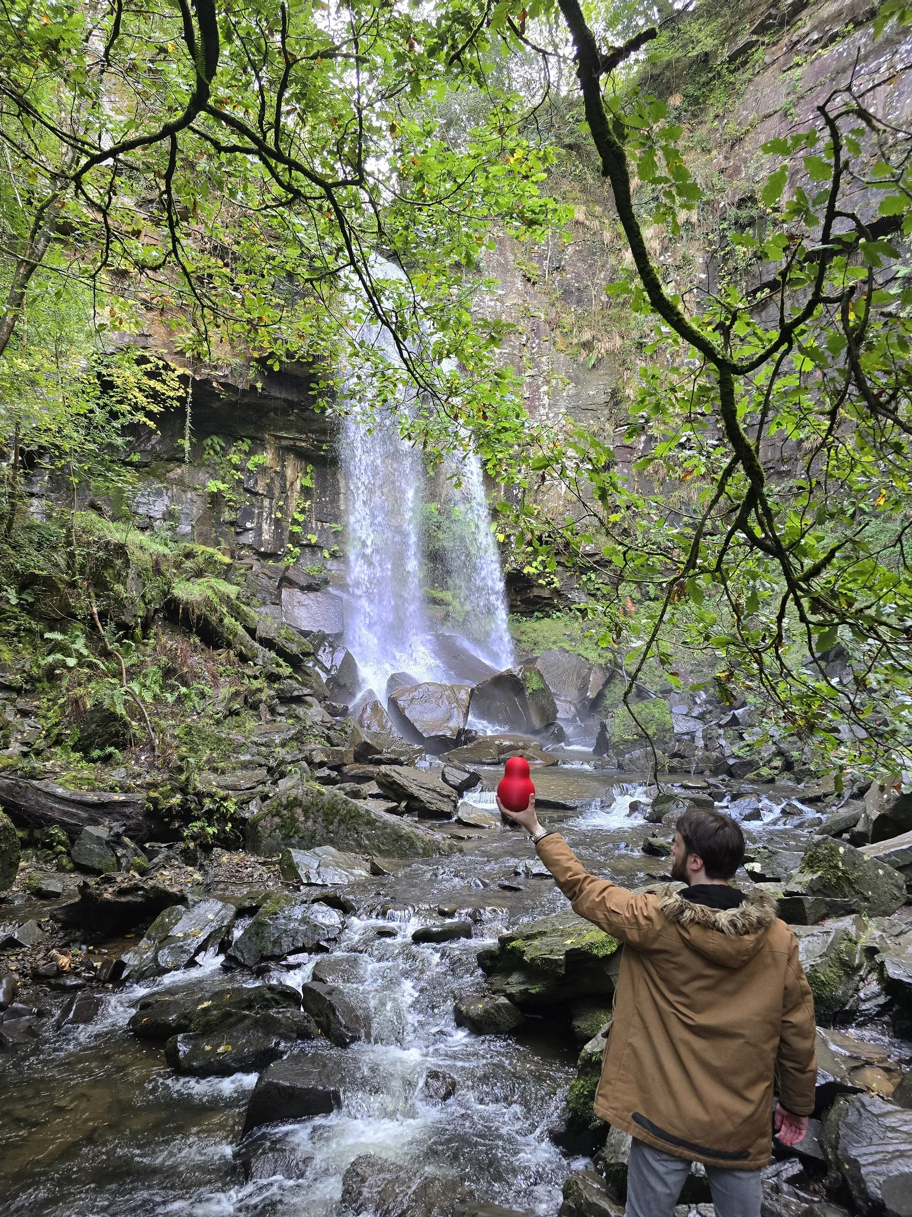
LOCATED: 51°42'05.2"N 3°42'03.2"W // NEATH VALLEY // PHOTOS 26–28
A sheer 24-meter curtain of water plunging over a resistant band of sandstone into the shadowed amphitheatre below. J.M.W. Turner painted it in 1794; we brought a gourd in 2026.
Carew Castle
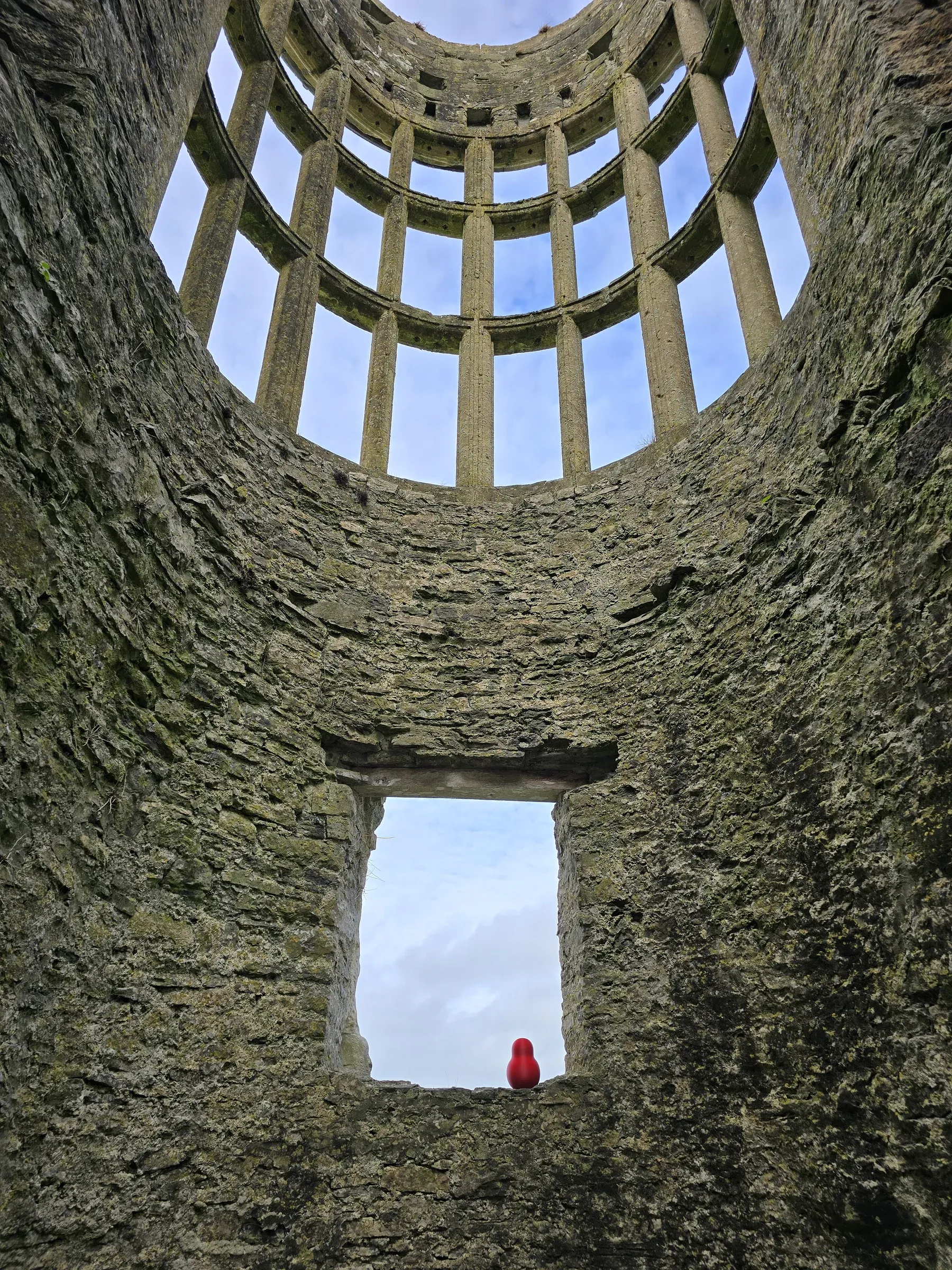
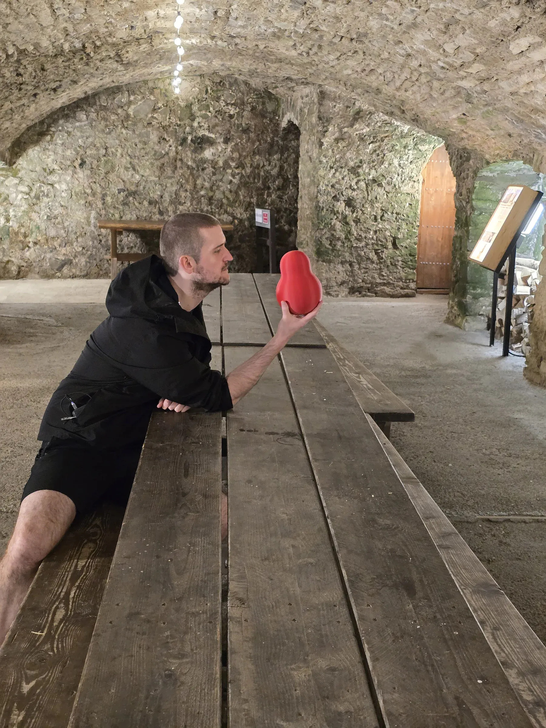
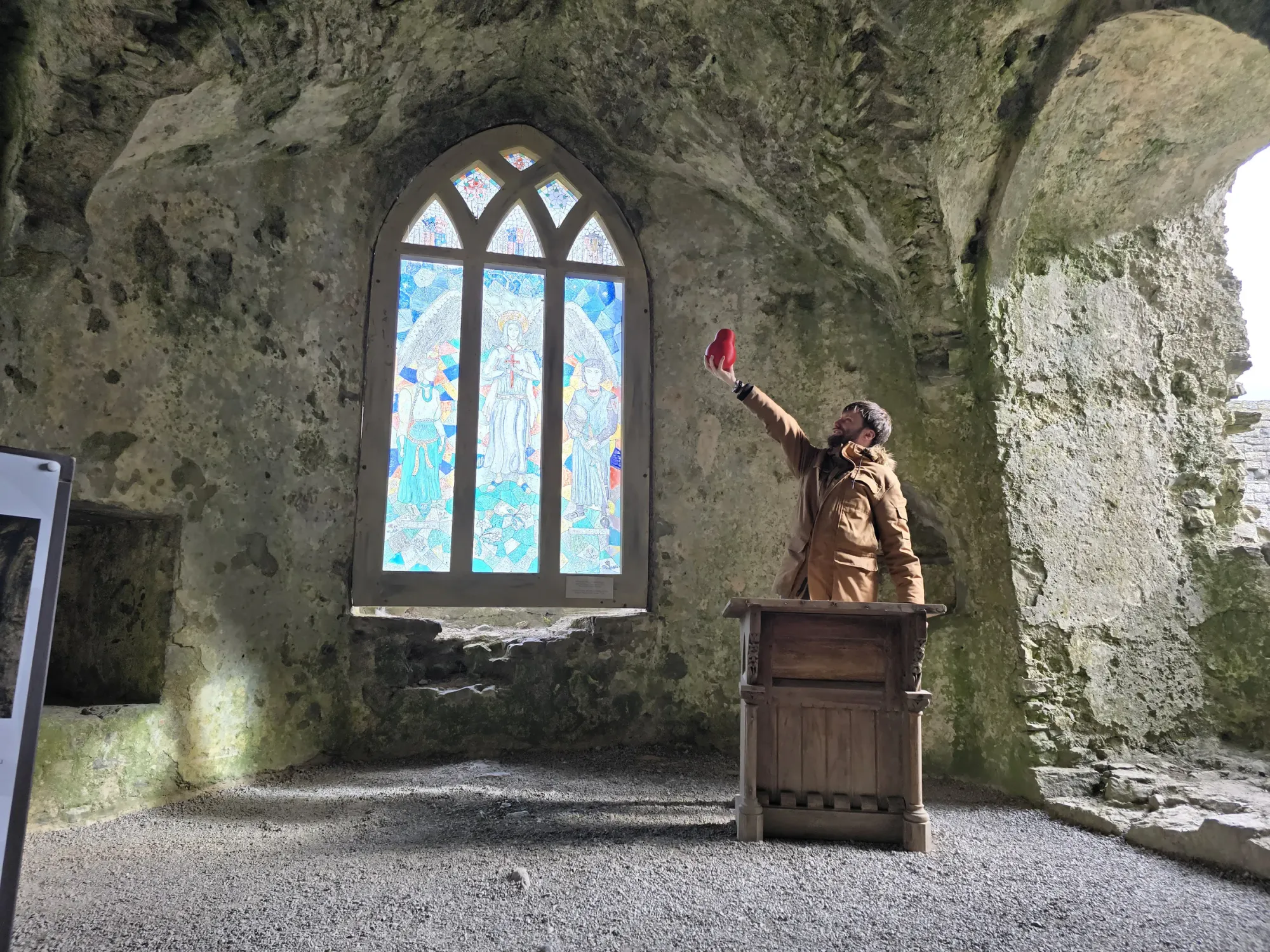
LOCATED: 51°41'54.9"N 4°49'49.5"W // PEMBROKESHIRE // PHOTOS 29–33
Reflected in the calm waters of a 23-acre tidal millpond, Carew spans everything from Norman fortress walls to grand Elizabethan mullioned windows. Five sightings across the ramparts.
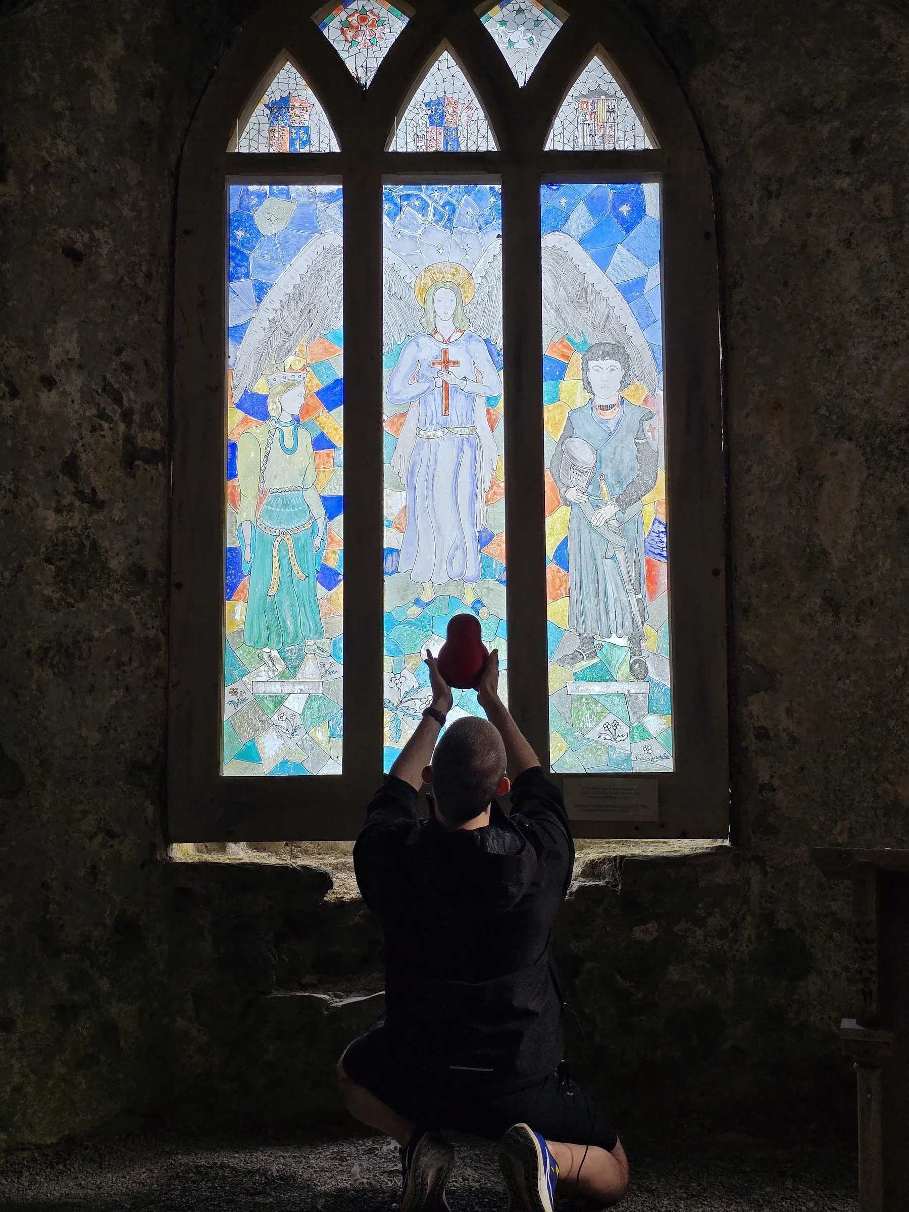
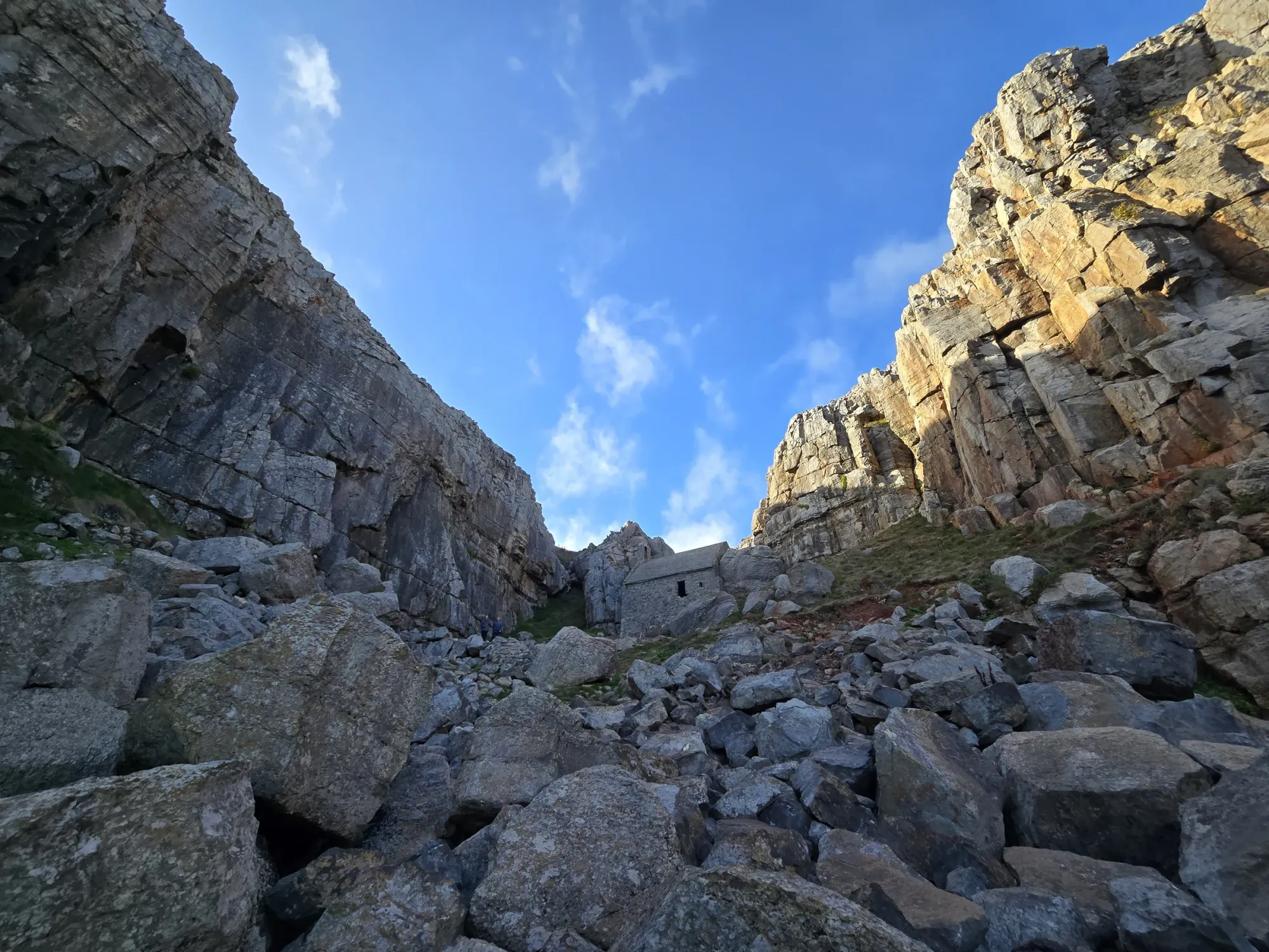
St. Govan's Chapel
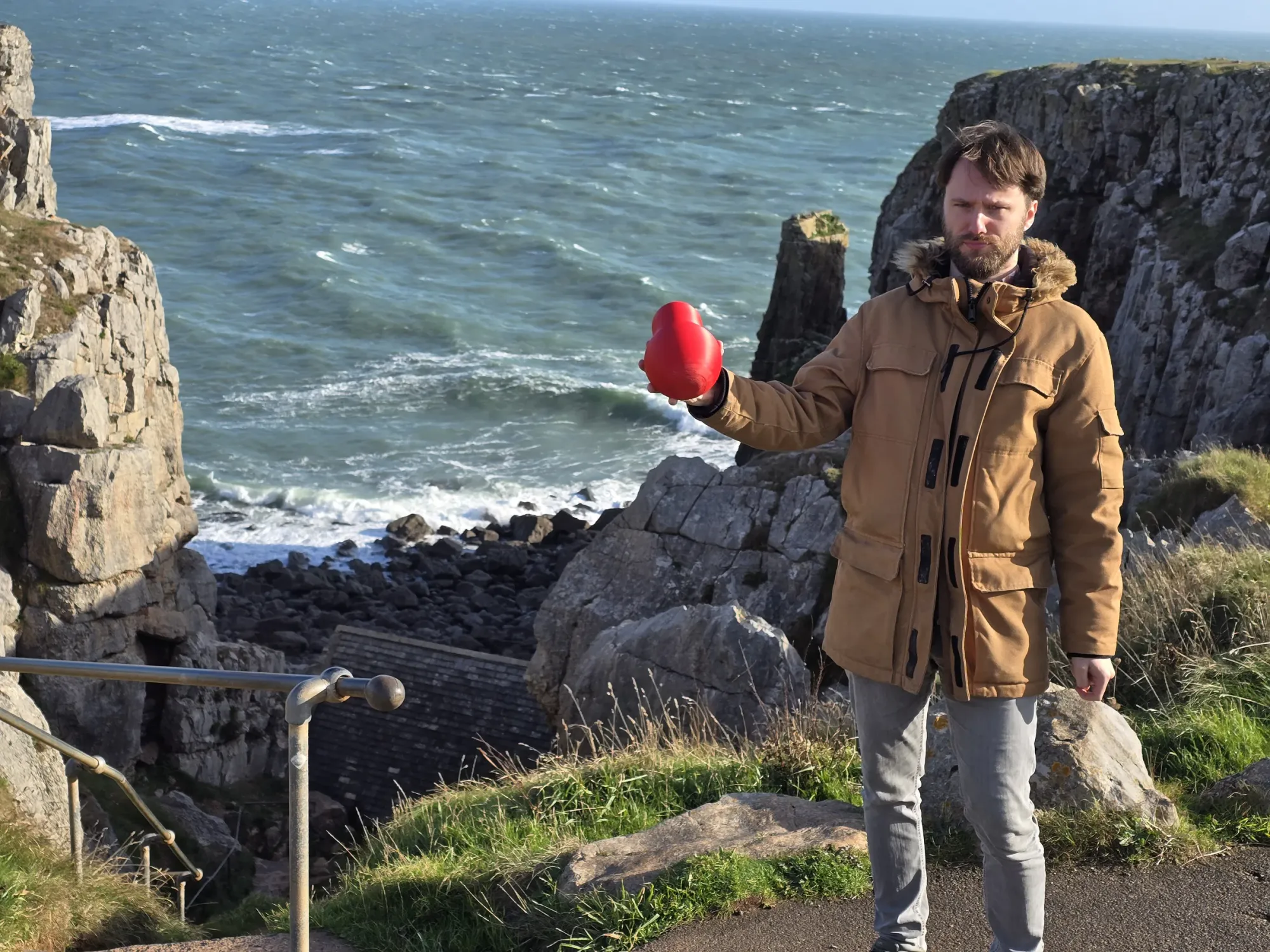
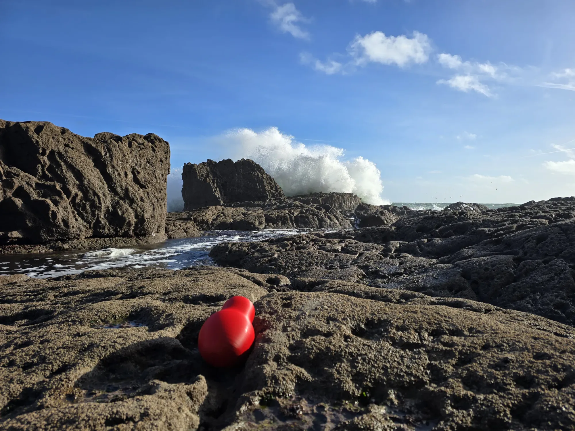
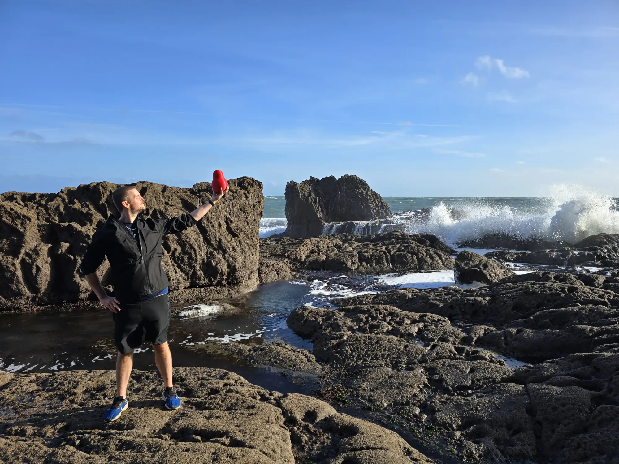
LOCATED: 51°35'54.0"N 4°56'11.0"W // BOSHERSTON CLIFFS // PHOTOS 34–36
END OF THE WALK // 51°35'54.0"N 4°56'11.0"W: Fifty-two weathered stone steps down a cleft in the Pembrokeshire sea cliffs lead to a tiny vaulted cell wedged straight into the limestone above the Atlantic waves. No further south left to walk.
The End!
Thank you for following us on our very own Big Walk (and drive!) through the stunning country of Wales. We all formed some incredible memories on this trip and we're happy to share them with you!
Hwyl fawr am y tro!
A big goodbye for now! ❤️